Hiking Lassen Volcanic National Park is underrated in the shadow of Yosemite National Park to the south. But it has its jewels too, and the hike to Bumpass Hell is one of several.
There are a couple of ways to get to Bumpass Hell, and we chose to hike where the trail begins from the Kings Creek Picnic Area where we would pass Cold Boiling Lake on the way.
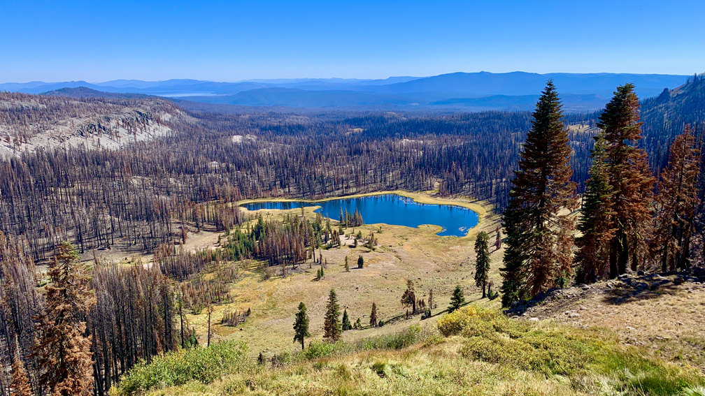
The forest on the way to Cold Boiling Lake was alive for some o the way, but unfortunately miles and miles around was burned up in the Dixie Fire in 2021. Thank you again PG&E for your outstanding contribution in continuing to burn down California location by location. You truly are second to none you Blue Ribbon Award winners, you! 🤨
The hike to Cold Boiling Lake is pretty easy, and when you arrive, look for gas bubbling up from the bottom of the lake. There wasn’t too much to see in the in terms of boiling water, but we happened to see a little bit of it in one spot.

From the lake, you begin about a 1.5 mile hike on a 10 percent grade to Bumpass Hell. It’s not a bad hike, and you do end up under some canopy that was not burned during the Dixie Fire, but countless other trees were burned. The views from the climb look to the distance with mountains in the backdrop with burned out forest in the foreground. As you climb, you can also look down on Crumbaugh Lake.
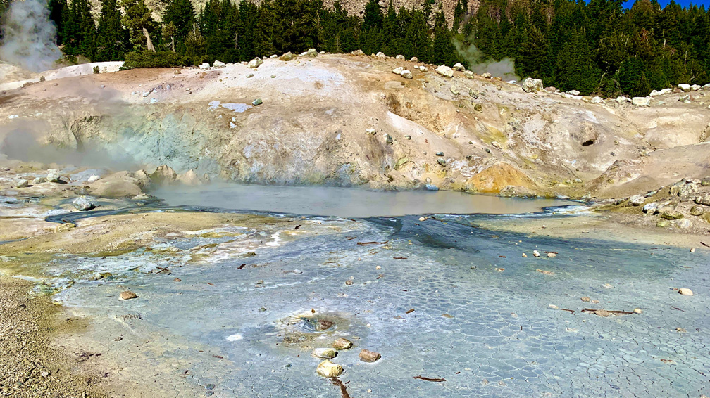
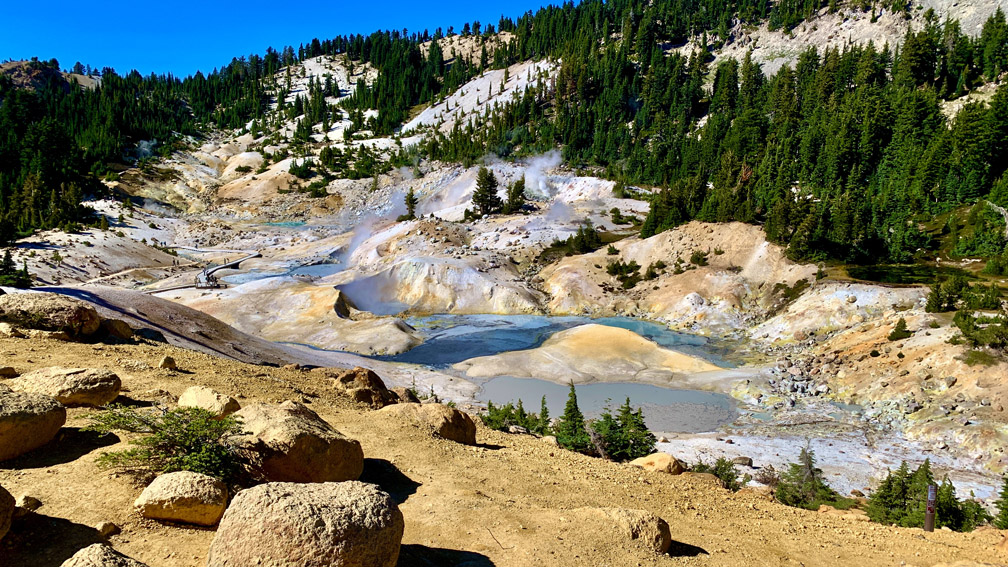
As you near the top of the climb, you’re under canopy, but you may start to get whiffs of the sulfur. It really wasn’t that bad when we were there. As you hike down to the sulfur vents and ponds some are grey while others area greyish blue. The pools average 200°F, so staying on the boardwalks is important for both safety reasons and to preserve the fragile area.

The area itself is seemingly otherworldly. Around the ponds, the area is baron and rocky in hues of orange, grey, white and hints of red. It really is a wonderous sight to behold, and if you go to Lassen, this is a must see.
Directions: From Red Bluff, take Highway 36 East for 43 miles to Highway 89 North for 16.4 miles and turn right onto Kings Creek Picnic Area.
The Skinny
Trail: Bumpass Hell
Trailhead Coordinates: 40.459910, -121.474420
Trailhead Elevation: 7413 Feet
Distance: 5.2 Miles – Out And Back
Level Of Difficulty: 🟡
Average Grade On Overall: 5.7%
Steepest Grade: 26.1 For 386 Feet
Ascension: 1230 Feet
Trail Condition: 🟢🟢🟢
Scenery: 🟢🟢🟢 (Only Because Of The Burned Out Forest)
Nearest Town: Mineral
Traffic: 🥾
Highlights: Bumpass Hell
Best Time: Summer, Fall
Wildlife Concerns: Bears, Mountain Lions, Rattlesnakes
Cell Service: 📵 (AT&T
Would I Do This Hike Again?: More Than Likely
Parking: At The Time Of This Writing, $30 Valid For Seven Consecutive Days
Restrooms: At The Parking Area
