The hike to Glen Campground starts out on the Bear Valley Trail at Point Reyes National Seashore, and I’ve written about the Bear Valley Trail a few times. This portion of the hike is an easy family friendly trail along the Bear Valley Creek under lush cool canopy.
After about 3.2 miles, you’ll come to a junction. Go straight, and you’ll go out to the ocean and to the Coast Trail. Go left, and you’ll start an ascent through lush, humid forest that leads to the Glen Campground. After about .6 miles on a point 6.6 percent grade, a fork appears between the Glen Trail we were on and the Glen Camp Loop Trail. We stayed left and went onto the Glen Camp Loop Trail and then hiked up about .9 more miles on an average of a 2.3 percent grade to the campground.
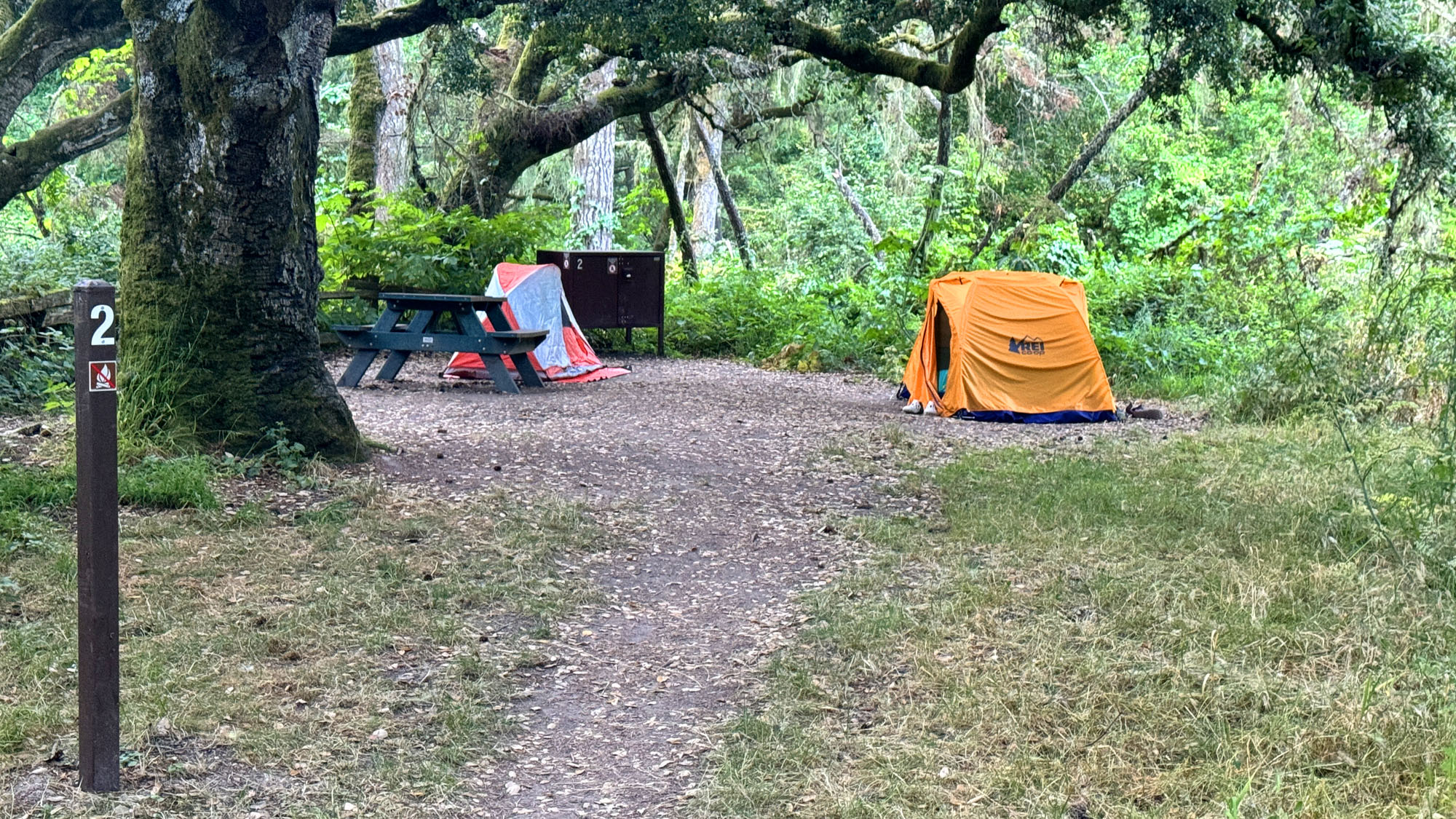
Of the campgrounds I’ve stayed at PRNSS, this one is my favorite. I’ve also stayed at Wildcat Campground and Coast Campground. I like this one because of the canopy we were under at our campsite. It was very relaxing, and all the birdsong was incredible in the morning when we woke up.
Instead of going back out the way we came in, we opted to hike out on the Glen Camp Loop Trail away from the way we came in, which was more like a road and passed the Greenpicker Trail and hiked on for about another .2 miles until we got to the Glen Trail and took a right on it.
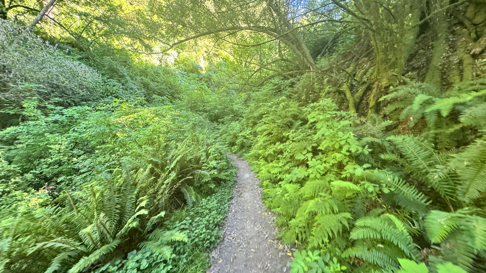
The next .8 miles traverses along a single track that that was overgrown in places where poison oak was present. It wasn’t hard to sidestep, but we had to move slower and watch closely where we stepped to avoid the poison oak. It got a little dicey when another couple came from our opposite direction, but there was no poison oak where we met, and it was easy to step off the trail and let them pass. They told us about the poison oak ahead, and we told them they were about to see more of it in front of them, and we moved on in our separate directions.
We came back to the junction we where the Glen Camp Loop Trail was, and he then headed down to the Bear Valley Trail and hiked back out along the trail to the parking area.
Directions: From Novato, head west on Grant Avenue toward Redwood Boulevard. Turn right onto Novato Boulevard and then left on Point Reyes-Petaluma Road. Continue straight onto Platform Bridge Road and follow it to Sir Francis Drake Boulevard and turn right. Follow it to Highway 1 and turn right about a tenth of a mile onto Bear Valley Road and follow it for about half a mile. Turn left onto the Bear Valley Visitor Center Road and follow it to the parking lot. The parking lot coordinates are here: 38.040553, -122.799716
The Skinny
Trail: Bear Valley To Glen Campground
Trailhead Coordinates: 38.039540, -122.799790
Trailhead Elevation: 117 Feet
Distance: 10 Miles
Level Of Difficulty: 🟢
Average Grade: 2.5%
Steepest Grade: 20.5% Over 432 Feet
Ascension: 1908 Feet
Trail Condition: 🟢🟢🟢
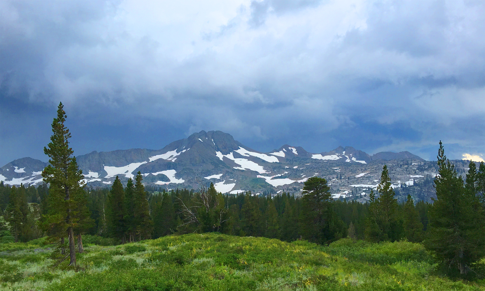
Scenery: 🟢🟢🟢
Nearest Town: Olema
Traffic: 🥾 On Weekdays, 🥾🥾 To 🥾🥾🥾 On Weekends
Highlights: Scenery
Best Time: Spring, Summer, Fall
Hazards: Poison Oak
Wildlife Concerns: Mountain Lions,
Cell Service: 📵 Verizon
Would I Do This Hike Again?: Yes
Parking: Free
Restrooms: Flush Toilets At The Trailhead, Vault Toilets At The Campsite