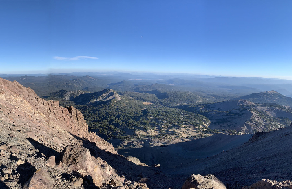
The trail up to Lassen Peak is loaded with switchbacks and is nothing but a climb, but the trail itself is very nicely maintained and views get better and better the higher you go. Once you reach the top, you should feel a real sense of accomplishment.
Looking up at Mt. Lassen from the trailhead, it can be daunting, but don’t let that give you hesitation. The climb really isn’t that hard, but what makes it difficult and slow is the altitude. You start at just about 8500 feet and ascend to about 10360 feet where the lookout area is.
After about 9500 feet, I started to feel the altitude change. While others went past me with no problem, some moved at my speed, and some stopped often to rest until their dizziness and rapid heartbeat slowed down before continuing on. If you’re experiencing dizziness and tiring as you climb, the trick is to stop and rest as frequently as you need to. You’re not in a race. Take in the views when you stop.
If you do start to feel sick from the altitude though, you need to turn around and head back down right away, as you could experience a serious health event.
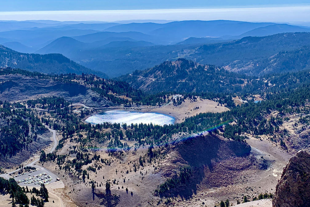
At the top of Mt. Lassen, you come upon a commanding view of the park and beyond in all directions. You can see Cinder Cone, Hat Mountain, Prospect Peak, Reading Peak, Mt. Harkness, Mt. Shasta about 75 miles away, Lake Almanor, Juniper Lake, Lake Helen and many, many more geographic features. What’s most amazing is looking back down the 2.5 miles you climbed to get to where you are.
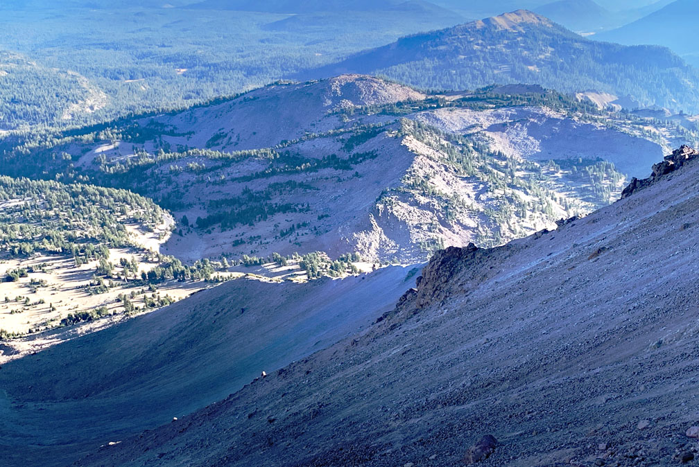
There are also other features where the landscape at the top looks like the lunar surface that another trail runs through. It’s amazing. From the lookout point, the trail runs on to the peak. This last part of the trail becomes very steep with a 26 percent grade, and it kind of runs out and you scramble over rocks and at some points using your hands to help you climb. Use caution since it can be tricky and dangerous.
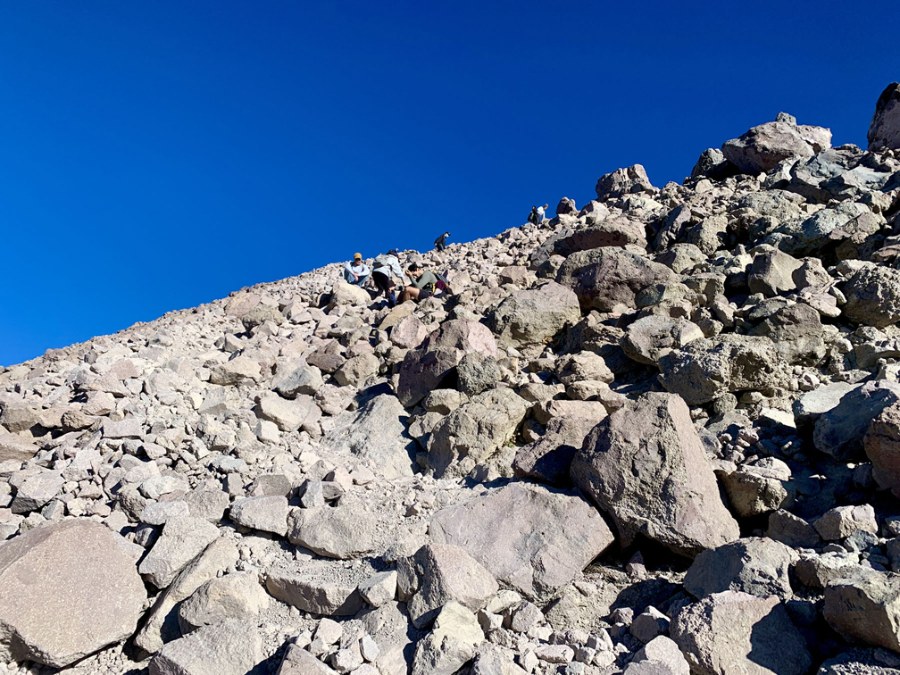
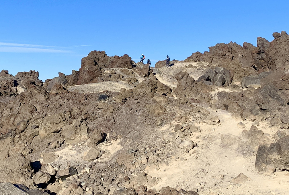
Enjoy the views from the top and from your descent back down.
Directions: From Red Bluff head south on Main Street toward Walnut Street for .2 miles. Turn left onto California 36 East for 2.7 miles, and then turn left onto California 36 for 43.3 miles. Turn left onto California 89 and travel 12.2 miles to the parking area. You will have to go through a toll booth. The parking area is here: 40.473580, -121.505549
Check the highway conditions before go you to see if it is open. The road in the park closes in the winter due to snow.
The Skinny
Trail: Lassen Peak Trail
Trailhead Coordinates: 40.474730, -121.505660
Trailhead Elevation: 8479 Feet
Distance: 5 Miles – Out and Back
Level of Difficulty: 🟠
Average Grade: 14.5%
Steepest Grade: 14.5%
Ascension: 1937 Feet
Trail Condition: 🟢🟢🟢🟢
Scenery: 🟢🟢🟢🟢
Nearest Town: Mineral
Challenges: Climbing at Altitude
Traffic: 🥾🥾🥾
Highlights: Views
Best Time: Summer, Fall
Hazards: Exposure, Altitude sickness
Wildlife Concerns: Bears, Mountain lions
Cell Service: 📱 (AT&T)
Would I Do This Hike Again?: Yes
Parking: Parking Lot at the Trailhead. $30 to Enter the Park Good for 7 Days.
Restrooms: At the Trailhead
