Meadow Trail at Point Reyes National Seashore up to Sky Trail is a tough climb, but sometimes the rewards are great if you like wildlife. Both times I hiked the trail I was treated to seeing Black Tail Deer once in a meadow and once running in the forest.
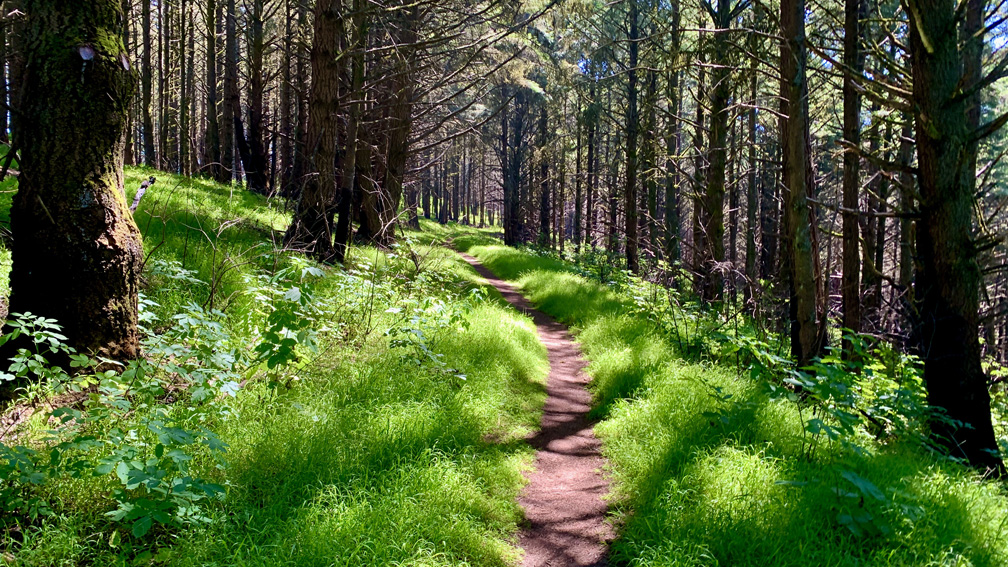
Like several of the trails at Point Reyes, this hike started off at the Bear Valley Trailhead, where the trial is smooth, wide and easy. After about .8 miles, you will come to the Meadow Trail Trailhead on your right, and almost immediately you start to climb. One thing to keep an eye out for is poison oak. The trail is mostly clear of it, but we had to watch where we hiked as some of it hung over on the trail.
For the most part, the trail was very easy to follow as we hiked 1.6 miles on an 11 percent average grade. The first 1.3 miles is on a 13 percent grade. Along the trail, we saw what looked like Montbretia and Hawksbeard flowers blossoming.
In 2020, a fire burned nearly 5,000 acres of Point Reyes including along the Meadow trail and also alongside the Mt. Wittenberg trail we hiked. The area was vastly different in that much of the ground cover was gone and trees were burned out – some completely, but some were burned at the bottom or along one side, and it looked like part of some trees may have survived.
Once we got to the Sky Trail, the canopy seemed to get thicker, but as we headed toward Sky Camp, we could see where the fire burned the area north of us as out and down off the trail we were on. I’ve hiked this trail before, and there was a lot more ground cover and greenery. We hiked it to the Horse Trail.

We hiked the Horse Trail for .36 miles as we intended to hike it back down to Bear Valley and the parking area. At the Z Ranch Trail junction, there was a sign saying the Horse Trail was closed further down, and we would have had to go out of our way to get back. Instead, we hiked about .75 miles to the Mt. Wittenberg Trail and hiked down 1.7 miles to the Bear Valley Trail and headed back to the parking lot.
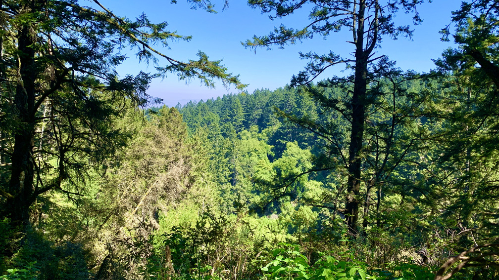
There really aren’t any spectacular views on this hike, but just hiking through the forest was peaceful while looking at scattered wildflowers here and there and then seeing the deer was nice. This hike was tiring because there was a lot of climbing, and it was long, but it was worth it to us.
Directions: From Novato, head west on Grant Avenue toward Redwood Boulevard. Turn right onto Novato Boulevard and then left on Point Reyes-Petaluma Road. Continue straight onto Platform Bridge Road, and follow it to Sir Francis Drake Boulevard and turn right. Follow it to Highway 1 and turn right about a tenth of a mile onto Bear Valley Road and follow it for about half a mile. Turn left onto the Bear Valley Visitor Center Road and follow it to the parking lot. The parking lot coordinates are here: 38.040553, -122.799716
The Skinny
Trail: Meadow Trail to Mt. Wittenberg Trail
Trailhead Coordinates: 38.039450, -122.799800
Trailhead Elevation: 116 Feet
Distance: 6.5 Miles – Lollipop
Level of Difficulty: 🟠
Average Grade: 4.8%
Steepest Grade: 19.3 % Over .3 Miles
Ascension: 1360 Feet
Trail Condition: 🟢🟢🟢🟢
Scenery: 🟢🟢
Nearest Town: Olema
Challenges: The Uphills
Traffic: 🥾
Highlights: Wildflowers, Wildlife
Best Time: Spring, Summer, Fall
Hazards: Temperatures Over 85 Degrees
Wildlife Concerns: Mountain Lions, Rattlesnakes
Cell Service: 📱
Would I Do This Hike Again?: Probably
Parking: Free
Restrooms: Flush In The Parking Lot; Vault At Sky Camp
