From the trailhead, the hike to Meiss Meadow follows the Pacific Crest Trail to the Upper Truckee River you’ll have to cross and proceed up to the Showers Lake.
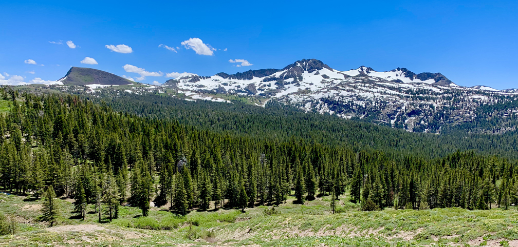
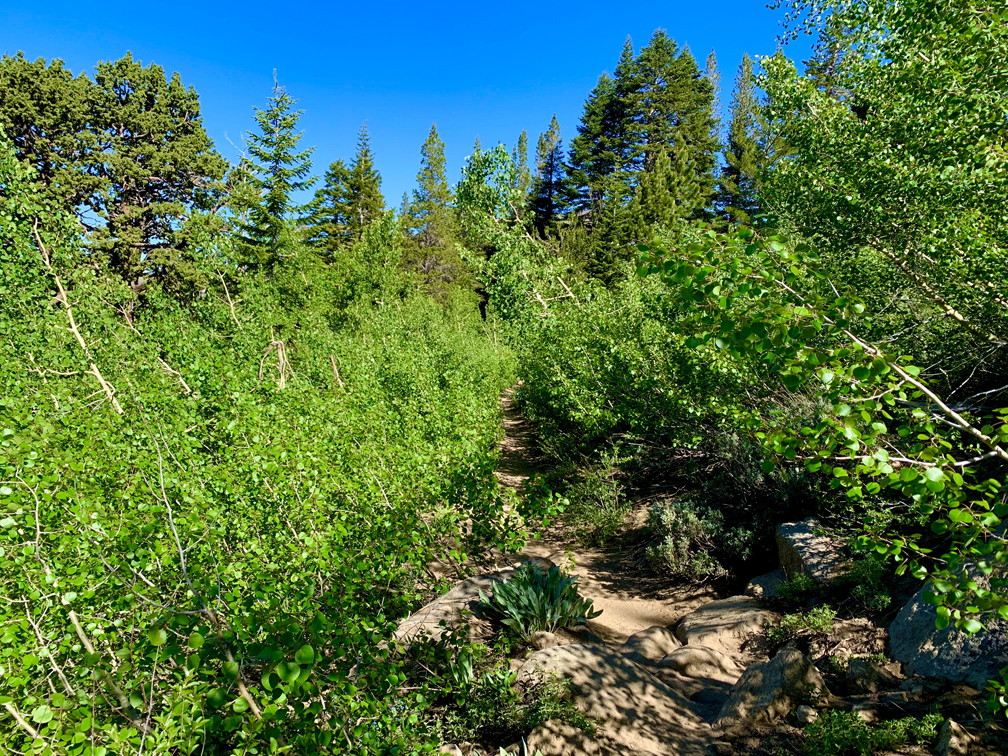
Before you ascend above the tree line, you will hike with views and vistas of Elephants Back and Round Top Mountain behind you, as well as a young Aspen tree forest you hike through. While I hiked this trail in July when there was still snow here and there, I returned in the fall when the Aspen leaves turned color.

The ascension for this hike is at altitude, so it at a lower level, it would be fine. At this level, it took a little more time, and I moved slower, but hiking though the Aspens was awesome. And the lupine and other wildflowers were in bloom in July, yet, as mentioned, there was still snow here and there.
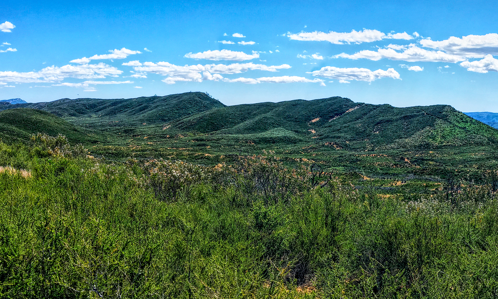
When the final ascension is made toward Meiss Meadow, you will come to an unmarked fork in the trail. The one to the right is the wrong way, but it will ascend a little higher, and you will see Lake Tahoe in the distance with mountain backdrop to the north. It’s beautiful, and the little sidetrack is worth taking. Once you’ve seen this, turn back toward the PCT and continue down toward the meadow.

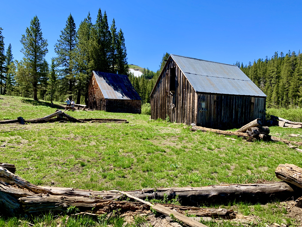
If you like history, one of the highlights on this trail after the descent is the Meiss Cabin and barn. You will have to take a brief offshoot trail to the left to the cabin. At the cabin is a historical marker giving a brief history of the Meiss family, and after taking it in, you can continue back to the PCT.
Depending on the time of the year, you may or may not be able to cross the Upper Truckee River. In the summer, it’s probably going to be running too high to cross, and it may be your turnaround point. It’s unlikely you’ll see a day hiker cross it if it’s running deep, but you will see PCT hikers wade through. In the fall when the most of the snow melt runoff is gone, it’s easier to cross.
Hiking through Meiss Meadow can put you in a lull thinking the hike to showers lake will be a breeze. Wrong. About three quarters of a mile after the crossing, a .7 mile climb on an 11 percent grade starts, and it can get a little tiring. Once I got to the lake, I didn’t stay long, as temperatures dropped into the 30’s and it started to rain and looked like it was snowing a few hundred feet higher. Even though I checked the forecast when I hiked in the fall, and rain and snow were not in it for that day.
The lake was beautiful, and I wish we could have stayed longer, but we decided to leave. I will go back in the summer from another route so I won’t be stopped at the Upper Truckee River.
Directions: From South Lake Tahoe, take Highway 89 South toward Luther Pass. Follow it until you come to the Highway 88 intersection. Turn right at the intersection and head west toward Carson Pass. Once at Carson Pass, head to the Meiss Meadow/Pacific Crest Trailhead, which is here: 38.696538, -119.991799
The Skinny
Trail: Showers Lake
Trailhead Coordinates: 38.696772, -119.991881
Trailhead Elevation: 8552 feet
Distance: 10.5 Miles – Out and Back
Level of Difficulty: 🟡 or 🟠 – See Summary
Average Grade: 1%
Steepest Grade: 11.7% over .7 miles
Ascension: 977 feet
Trail Condition: 🟢🟢🟢🟢
Scenery: 🟢🟢🟢🟢
Nearest Town: Markleeville
Challenges: High Temperatures
Traffic: 🥾 to 🥾🥾
Highlights: Views, Wildflowers
Best Time: Summer
Hazards: Exposure
Wildlife Concerns: Black Bears, Mountain Lions, Mosquitos
Cell Service: 📵 (AT&T)
Would I do this hike again? Probably
Restrooms: Vault Toilets at the Trailhead
Parking: $5 at the time of this writing
