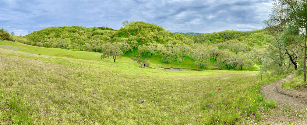
Like the other hikes we’ve done at Lake Hennessey, Old Man’s Beard and Sam the Eagle trails at Moore Creek Park are pleasant when hiked in the springtime with green hills, wildflowers as the foliage is coming back to the trees.
From the parking lot, you head over Moore Creek, and start hiking along the Shoreline Trail for about 1.5 miles before you come to where you come to the junction and start hiking uphill.
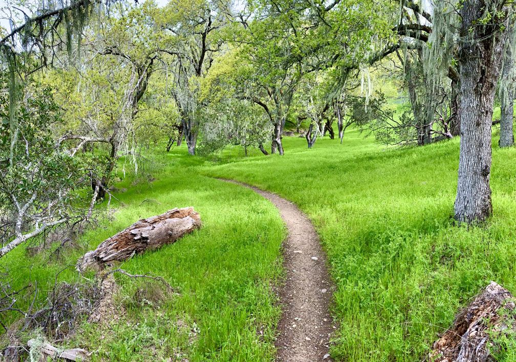
While there is some climbing at the beginning of Old Man’s Beard, this hike is not difficult overall. Old Man’s Beard is a hike through oak forests and green grasses. The wildflowers, in places, such as goldfields and Baby Blue Eyes, make the hike through the hills enjoyable while under the oak forest canopy. There are many more wildflower varieties that grow at Moore Creek Park, but when we were there, many still had not bloomed yet. Old Man’s Beard drops down to the Shoreline Trail, which you follow for about 100 feet or so, and then turn and head back up into the hills on Sam the Eagle Trail. When we were there, Sam the Eagle Trail was not marked, but it’s not difficult to spot.
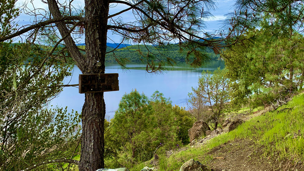
Sam the Eagle is a little different from Old Man’s Beard in that at some points it did not seem as maintained, and there were areas where poison oak encroached on the trail, so you’ll need to keep an eye out for that. One of the highlights of Sam the Eagle is when you hike up on the trail, you will get to look out at Lake Hennessey and take in the view.

Sam the Eagle is only about .7 miles long before you come to the Calcutta Trail, which will start to circle you back on this lollipop hike. The hike becomes more exposed along the Calcutta Trail, and if it’s a warm day with no wind, it can start to feel hot with the sun beating down on you before you start to descend under the canopy.

As we headed back, we were going to descend on the Whiskey Ridge Trail, but we missed the junction and headed down on the Alta Hennessey Trail, which was a steep descent in places. Where we would have taken the Whiskey Ridge Trail, four trails came together and formed a junction, and somehow we just didn’t see the Whiskey Ridge Trail and hiked right past it.
The Alta Hennessey Trail interested with the Shoreline Trail, and we followed it back about .75 miles to the parking lot.
Directions: From Winters take Highway 128 West and follow it to Lower Chiles Valley Road in Napa County. Follow Lower Chiles Road to Chiles Pope Valley Road to Moore Creek Park. The parking coordinates are here: 38.510050, -122.355620
The Skinny
Trail: Old Man’s Beard and Sam the Eagle at Moore Creek Park
Trailhead Coordinates: 38.509350, -122.355230
Trailhead Elevation: 404 Feet
Distance: 8.2 Miles – Lollipop
Level Of Difficulty: 🟡
Average Grade: 1.5%
Steepest Grade: 15.1% Over .2 Miles
Ascension: 1293 Feet
Trail Condition: 🟢🟢🟢
Scenery: 🟢🟢🟢
Nearest Town: St. Helena
Challenges: Single Track Trail With Mountain Bikers
Traffic: 🥾
Highlights: Scenery, Wildflowers
Best Time: Spring, Summer, Fall, Winter
Hazards: Poison Oak, Temperatures Over 90 Degrees Fahrenheit
Wildlife Concerns: Mountain Lions, Rattlesnakes; An Occasional Bear
Cell Service: 📱 (AT&T)
Would I Do This Hike Again?: Maybe
Parking: Free
Restrooms: Portable Toilet In The Parking Area
