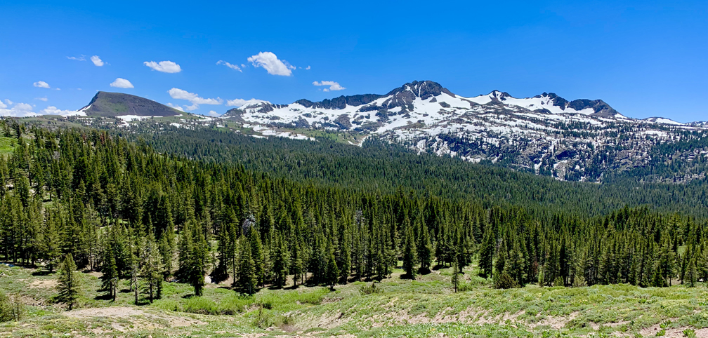
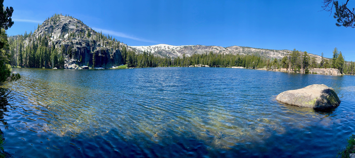
Hiking Meiss Meadow to Showers Lake
The Hike Is The Destination
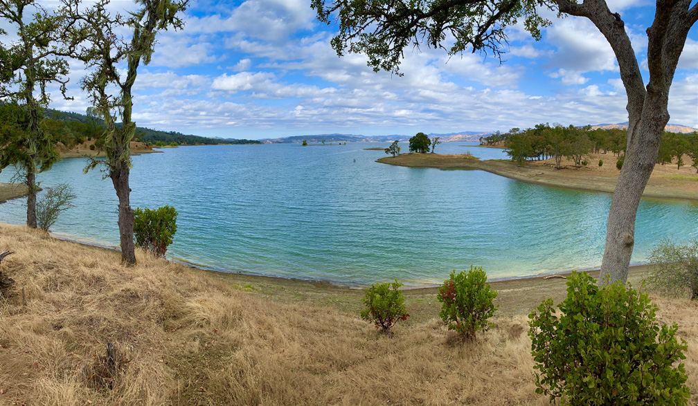
Continue reading “Hiking Lake Hennessey in the Springtime is Beautiful”
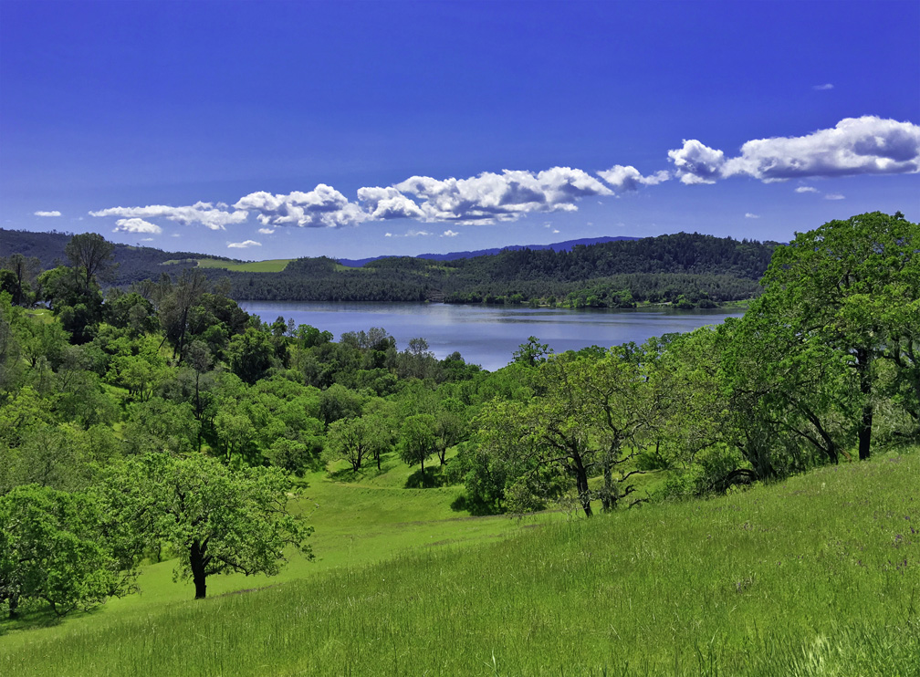
But don’t let that short mileage fool you. While the hike is pleasant and moves through forested areas, next to small bodies of water, and during the right time of year it is very flowery and green. There are, however, some challenges to overcome. Continue reading “Hiking to Lake Margaret”
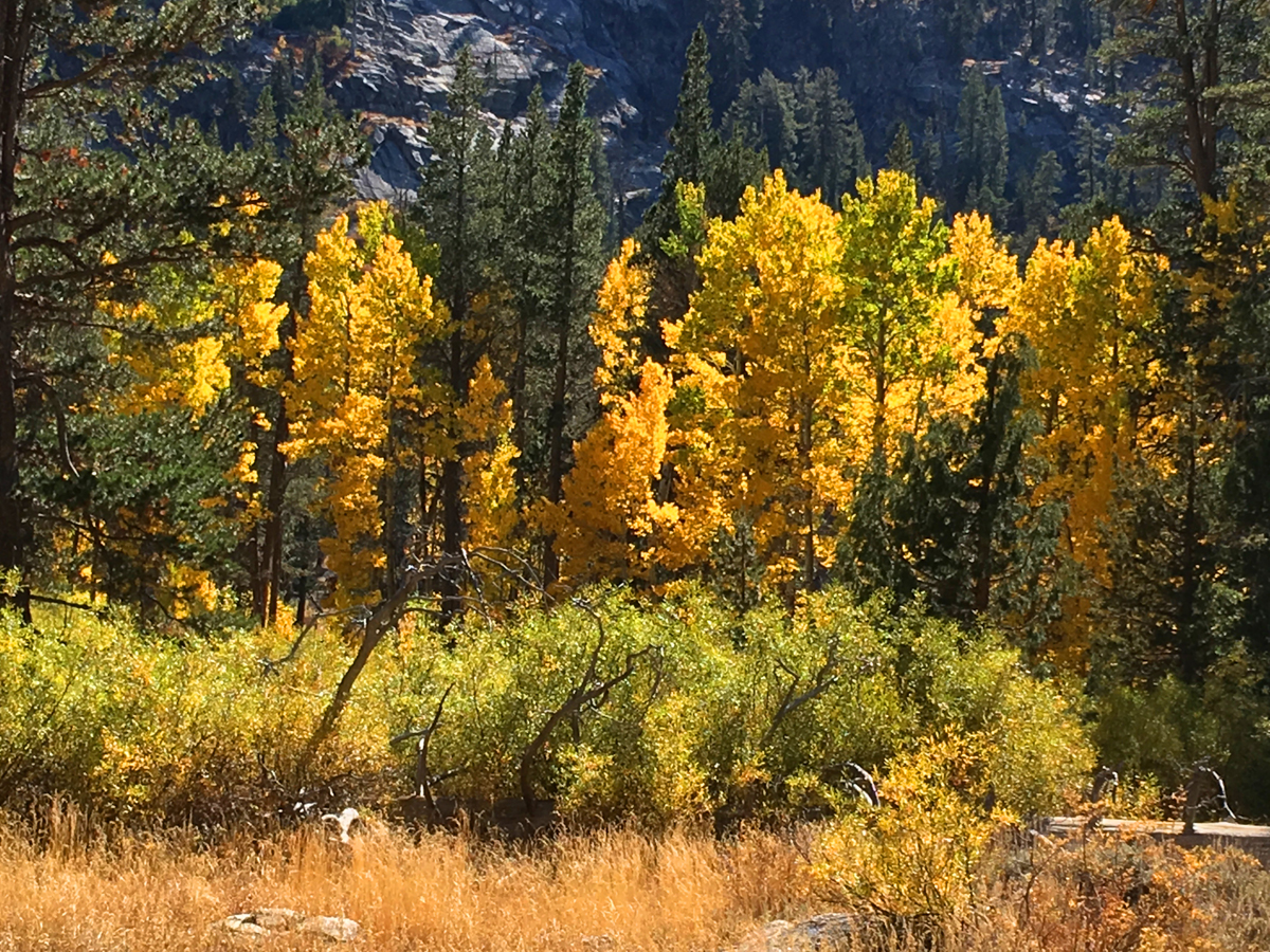
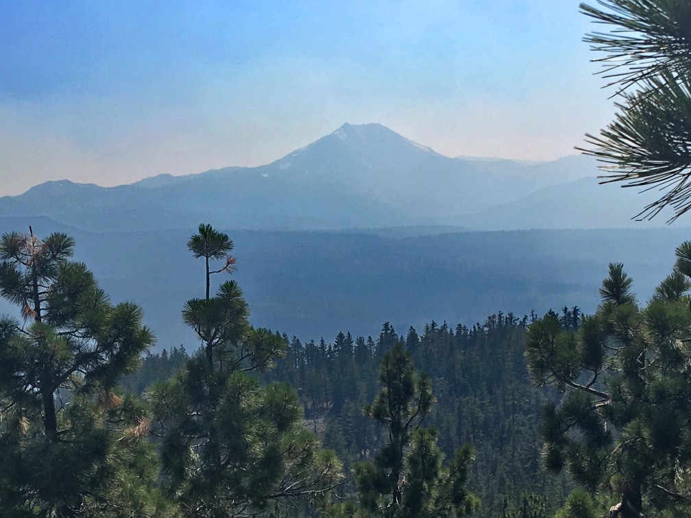
The hike starts off at the trailhead parking lot just off Highway 89 on Luther Pass, which is part of the larger Tahoe Rim Trail. You hike a pleasant .1 a mile before you come upon Highway 89 and have to cross it. Listen for traffic, as you should be able to hear it before you can see it coming around the two corners. Continue reading “Hiking to Scott’s Lake is full of Fall Color”
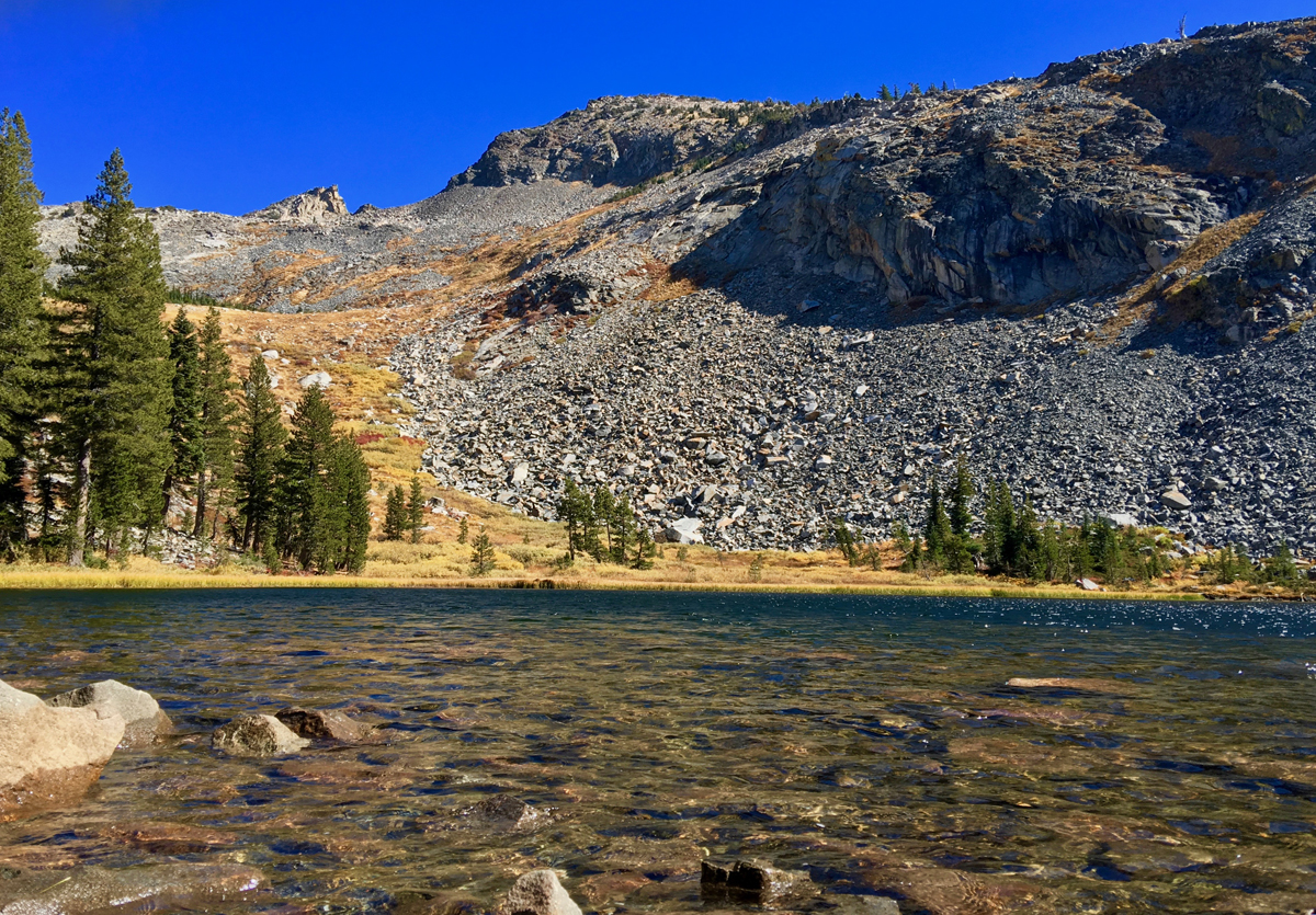
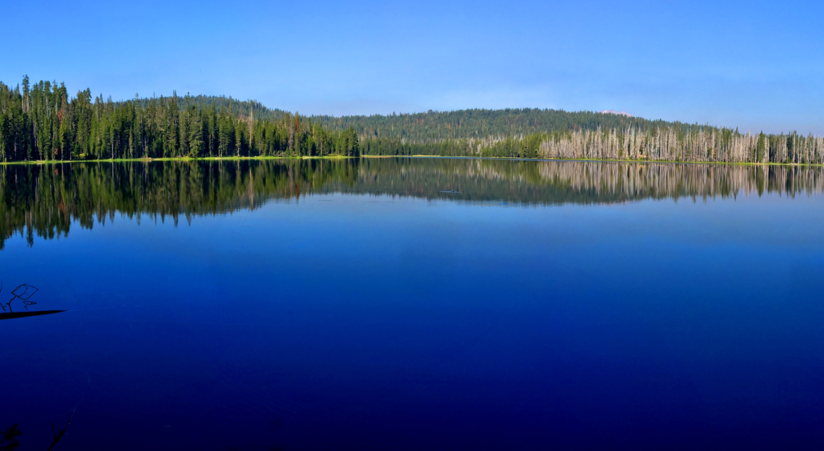
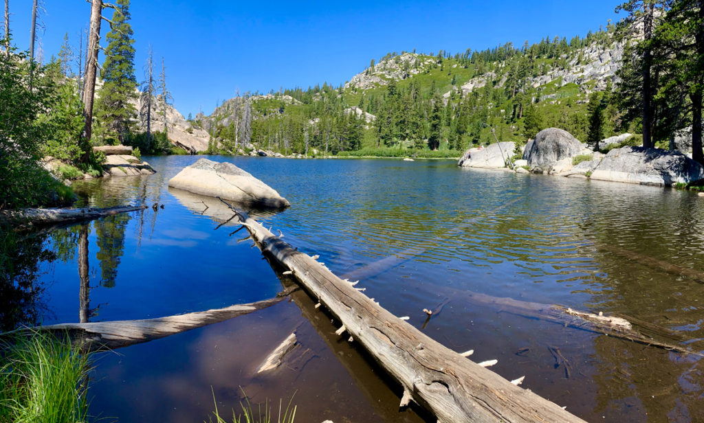
Continue reading “Hiking Lyons Creek Trailhead to Lake Sylvia”
The Fleming Meadow Loop in the Eldorado National Forest is one of the best marked and maintained trails I’ve come across in a national forest. When you hike Trail 8, you will come across many junctions with roads and other trails, but Trail 8 is marked so it is easy to follow. This trail is taken advantage of by hikers, mountain bikers, equestrian riders and the locals who know its secret. Continue reading “Hiking Fleming Trail Loop in Eldorado National Forest”
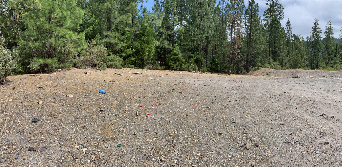
Some of the road is on private land and then moves onto public land, and I was appalled by what I saw on both public and private land. What happens on private land is up to the landowner as long as it’s legal, so I don’t have much to comment about there, but what I saw on public land infuriated me. Continue reading “Trash on Public Lands”
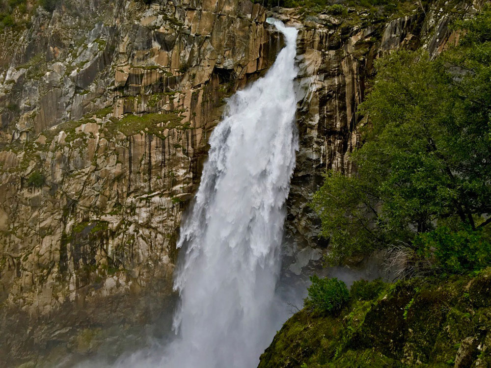
If you want to make a loop out of this hike, it might be best to go to the left, as the trail will head downhill. Coming back up this way could be strenuous. If you do decide to come back up this way, there are a series of benches along the trail for resting. This way is shorter taking about 3.3 miles to get to the overlook. Continue reading “Hiking to Feather Falls”