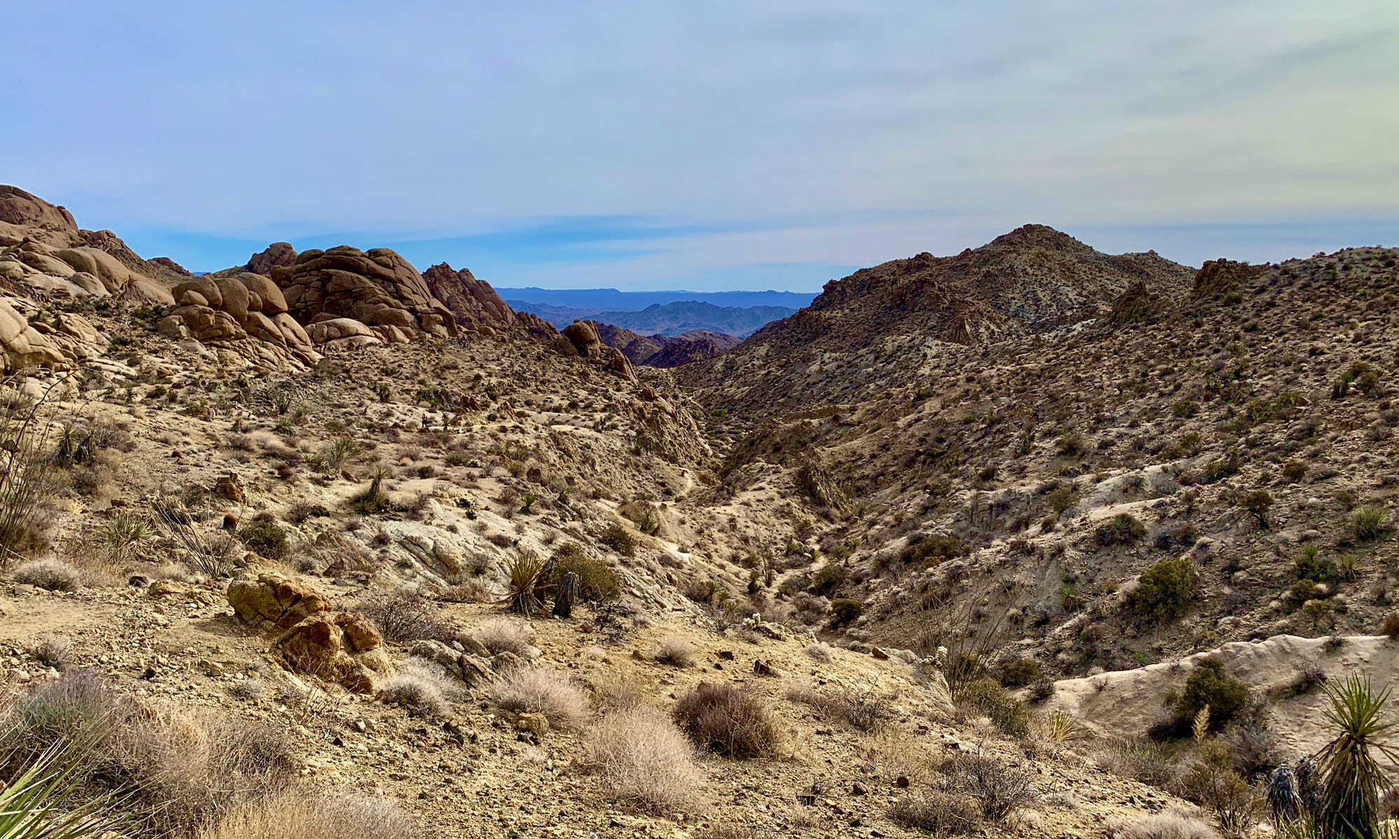
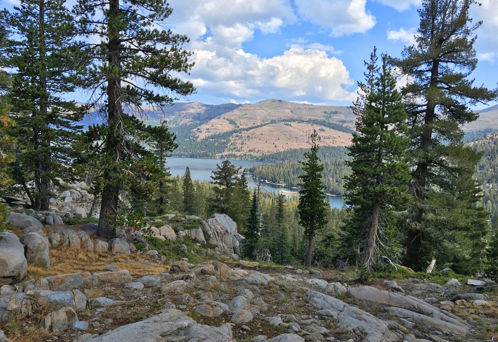
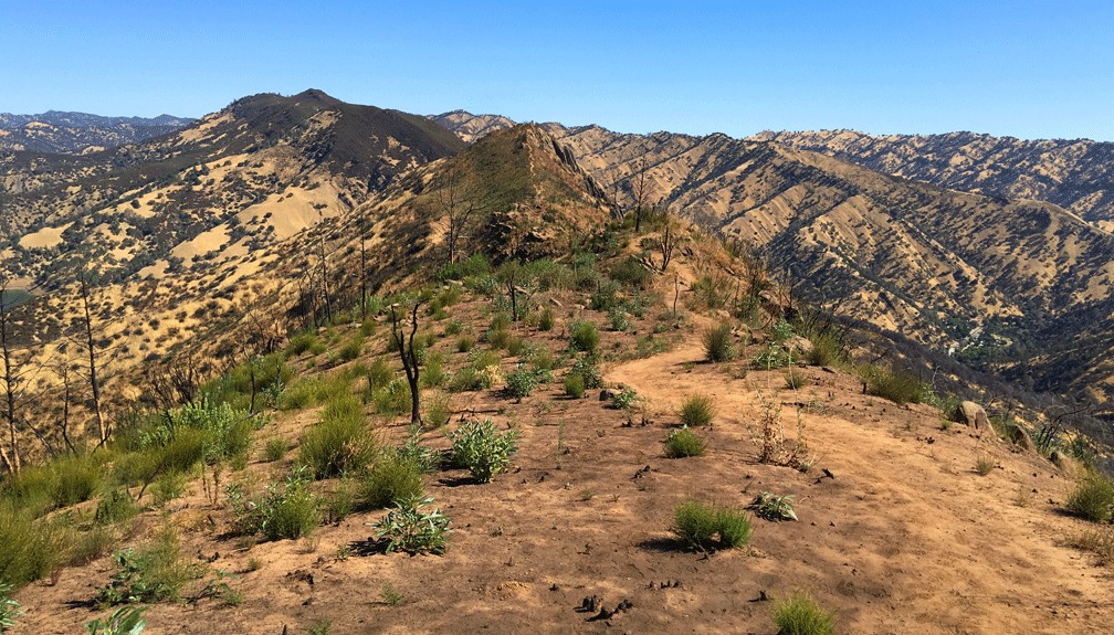
Billy’s Hill and Glascock Mountain
The hike up Billy’s Hill and then over to Glascock Mountain can be a butt kicker, but it is worth it. This land is overseen by the Bureau of Land Management, so you can hike on it. Once you climb over the green gate, you will see there is no trail up Billy’s Hill, so the best way, albeit steep, is to hike a game trail. You may have to stop and rest on the up, which took me a little more than an hour to climb the 19 percent one-mile grade. The 980 foot ascent takes you from a starting elevation of 798 feet to 1778 feet. Continue reading “Billy’s Hill and Glascock Mountain”
Hiking Tomales Point Trail at Point Reyes National Seashore
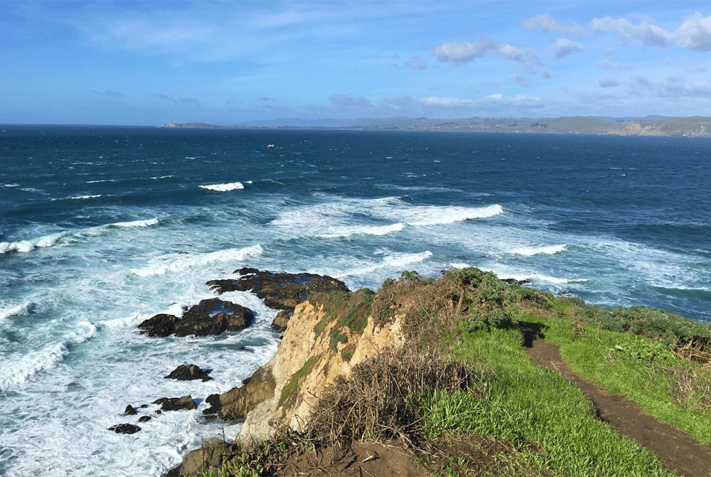
Ihave hiked the Tomales Point Trail at Point Reyes National Seashore several times, and depending on the time of year you go, you may or may not actually see the ocean as you move along the cliffed peninsula with the Pacific Ocean below you on the west side, Tomales Bay on the east side and Bodega Bay to the north. Continue reading “Hiking Tomales Point Trail at Point Reyes National Seashore”
Carson Pass to Fourth of July Peak
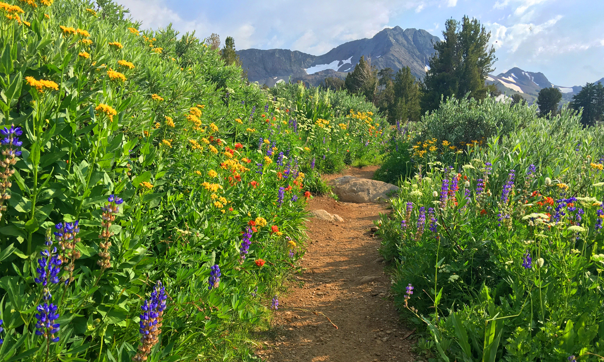
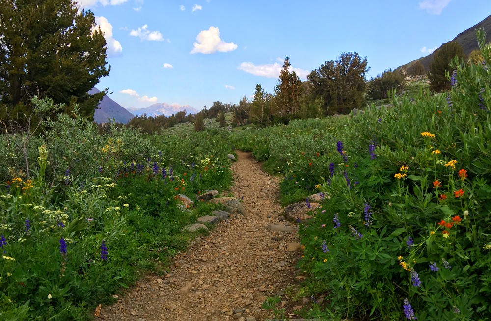
Ihave written about hiking to Round Top Lake and Winnemucca Lake in a previous post, but I want to revisit the hike from a different way. If you like summer wildflowers, this is absolutely the hike for you.
Instead of starting out at Woods Lake, on this hike you start from Carson Pass, just a few more miles up on Highway 88.
The wildflower display on the trail to Winnemucca Lake, I’m told, is “world renowned.” I don’t know if that’s true, but I can attest to the beauty along the trail to the lake like I’ve never encountered on in the wild before. There is lupine, Indian Paintbrush, and a host of flowers I don’t know the names of, but are blue, purple, yellow and white. It’s an explosion of color, and in all the times I’ve hiked this trail, I’ve seen not only hikers, but photographers out on the trail too. About 1.5 miles in, you get into the wildflower burst. There is some uphill, but it’s not bad to this point, so it’s more than worth going just for this. If you were to just go to Winnemucca Lake and turn back, the wildflowers alone would make it a five-star day and the lake a bonus. Continue reading “Carson Pass to Fourth of July Peak”
Carson Emigrant National Recreation Trail
The Carson Emigrant National Recreation Trail is not too often hiked but is a walk with history. As you hike it, it’s difficult to imagine how thousands of people in covered wagons made it along this terrain, and this trail isn’t anywhere near other difficult terrain they encountered on their way up Covered Wagon Peak. You won’t go that far if you turn around where I did, but you can. Continue reading “Carson Emigrant National Recreation Trail”
Round Top Lake to Winnemucca Lake
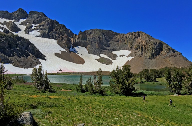
Normally, I wouldn’t rate a hiking trail like Round Top Lake to Winnemucca Lake with a 🟠. It’s not a difficult hike, but the altitude might slow you down as you approach the 9000-foot mark. Even if it makes you huff and puff, it’s well worth it.
This hike has fantastic views as you approach Round Top Lake and look behind you to the north down on Caples Lake and the mountains beyond. Leaving the small parking lot, you’ll cross over Woods Creek on a bridge and then shortly after you’ll leave the pavement to your right and start hiking the trail. Continue reading “Round Top Lake to Winnemucca Lake”
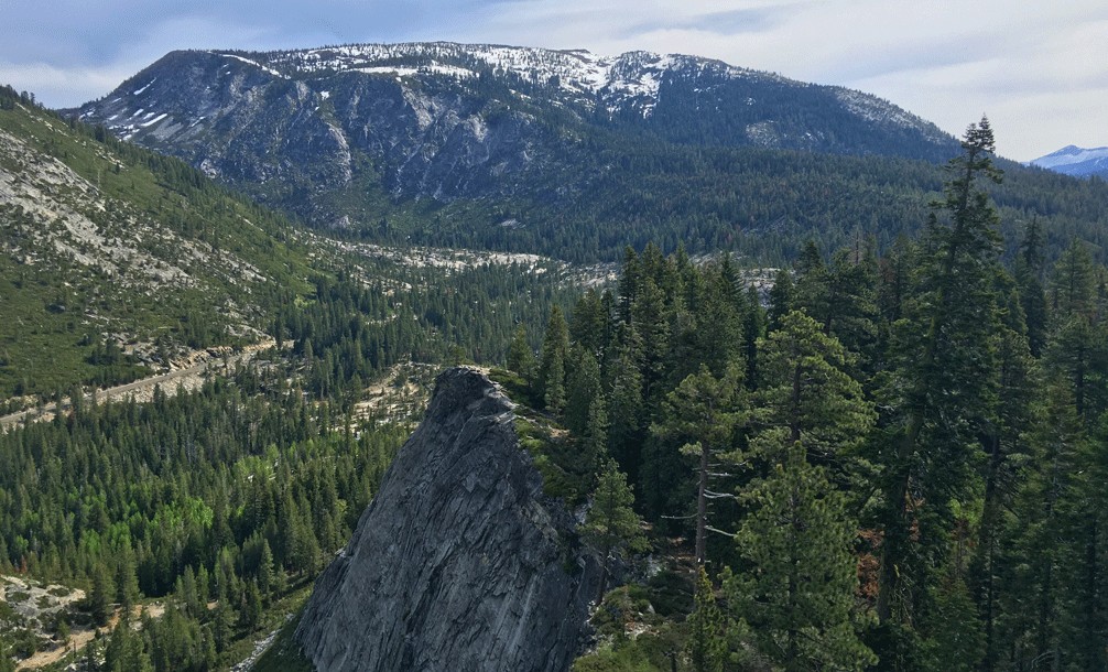
The Hike is the Destination
While hiking along the Tahoe Rim Trail earlier this summer, my tagline, “The Hike is the Destination,” kept coming back to me as I took in the wildflowers, the trees, granite rocks and the mountains around me, the lake and creeks along with the very essence of the forest. In the back of my mind, taking it all in and not getting to the “destination point” has always been what hiking has been about for me. Continue reading “The Hike is the Destination”
Hike Lovers Leap Trail
Though short, hiking up Lovers Leap trail is one tough climb. You start to feel the pull almost immediately once stepping onto the trail, and it doesn’t stop until you make it almost to the top as you hike under thick pine most of the way. Following the trail takes you to the top of the end point, which is the highlight of the trail. Continue reading “Hike Lovers Leap Trail”
Situational Awareness is Essential While Hiking
Situational awareness is one of the most important skills you need to utilize while hiking in the wilderness. Unfortunately, I see enough people who don’t have it or exercise it.
The lack of situational awareness in other people has been noticeable to me for quite awhile, but I haven’t really thought about writing about it until what I saw on the Thunder Mountain Trail recently. I passed a hiker who at first I didn’t think much about other than he was a general idiot, until I started to think about him more as I hiked and actually got angry.
On first appearance, I just thought he was a dumbsh*t hiker somewhere in line for a Darwin Award as he approached me in the wilderness wearing earbuds. I knew he had them turned up after I stepped aside for him to pass and he said, “Thank you,” very loudly so he could hear his own voice over the volume of his earbuds. Clearly, he had no capacity for audio situational awareness around him. Continue reading “Situational Awareness is Essential While Hiking”
Hiking Big Meadow Trail to Round Lake
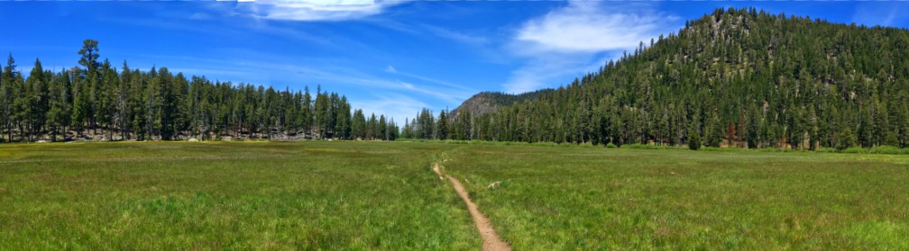
If you like hiking through meadows like I do, then this hike through Big Meadow is absolutely for you.
The hike starts off at the Big Meadow trailhead parking lot just off Highway 89 on Luther Pass, which is part of the larger Tahoe Rim Trail. You hike a pleasant .1 a mile before you come upon Highway 89 and have to cross it. Listen for traffic, as you should be able to hear it before you can see it coming around the corners. Continue reading “Hiking Big Meadow Trail to Round Lake”
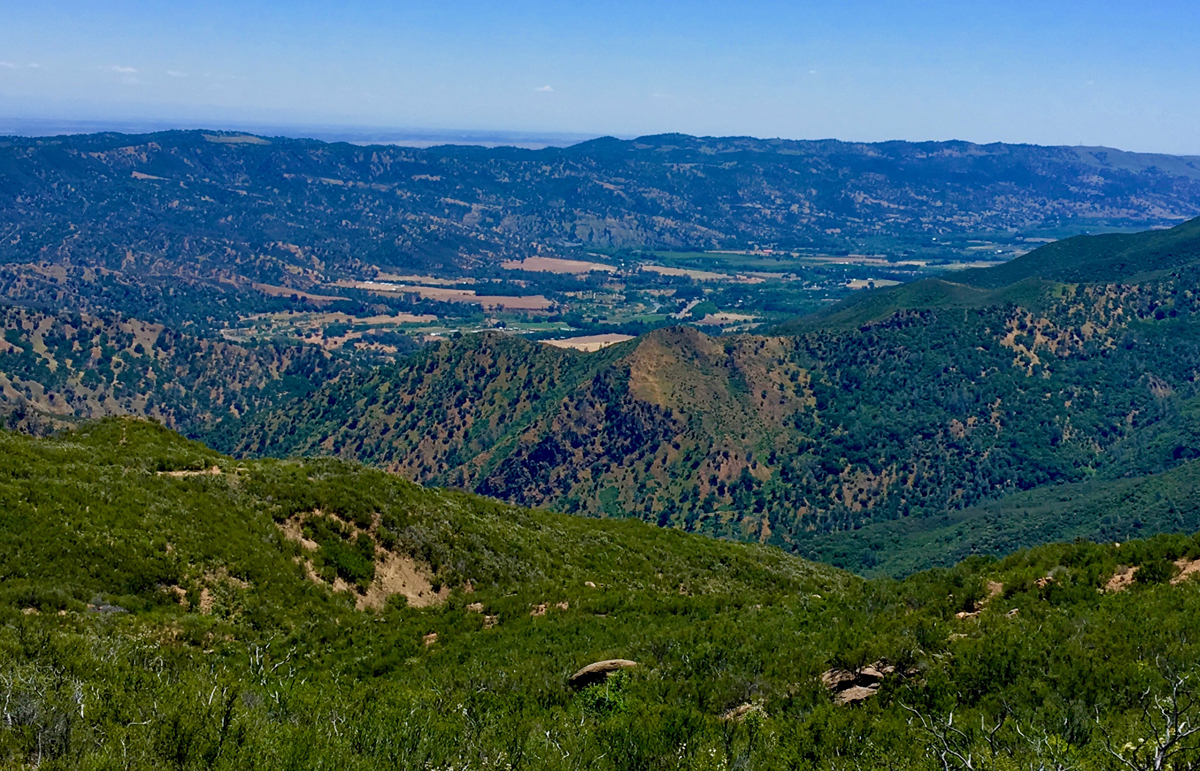
Hiking Valley Vista Trail
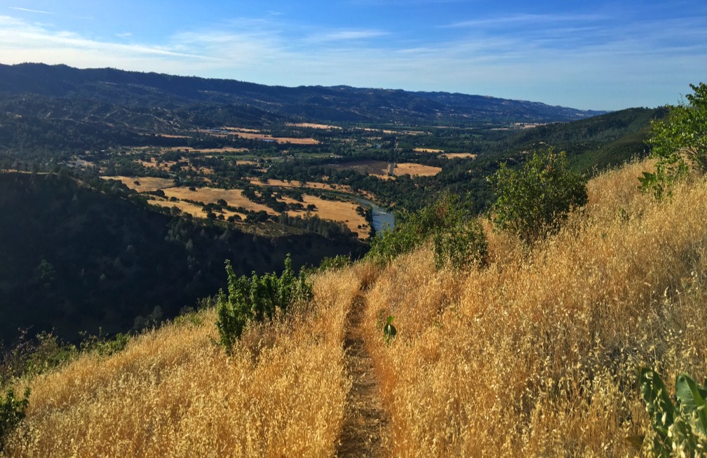
The hike up to Valley Vista Trail can be heart pounding in areas and seemingly level in others while you ascend the entire time. On a clear day while hiking, you can see the Sutter Buttes, portions of the north end of Capay Valley, the Sacramento Valley and the Sierras way out to the east. Continue reading “Hiking Valley Vista Trail”
Hiking Annie’s Trail
Hiking to the Annie’s Trail trailhead can be a feat within itself, as you have to hike the Homestead Trail and climb many steps up a 19 percent grade over 400 feet to get to it. By the time you reach the trailhead, you’ve already hiked about two miles overall. Once you’ve made it this far, you’ll find yourself at a junction. To take Annie’s Trail, hike straight ahead and follow the trail south along an ascending path. You’ll do some ducking under limbs, but it’s not bad. Continue reading “Hiking Annie’s Trail”
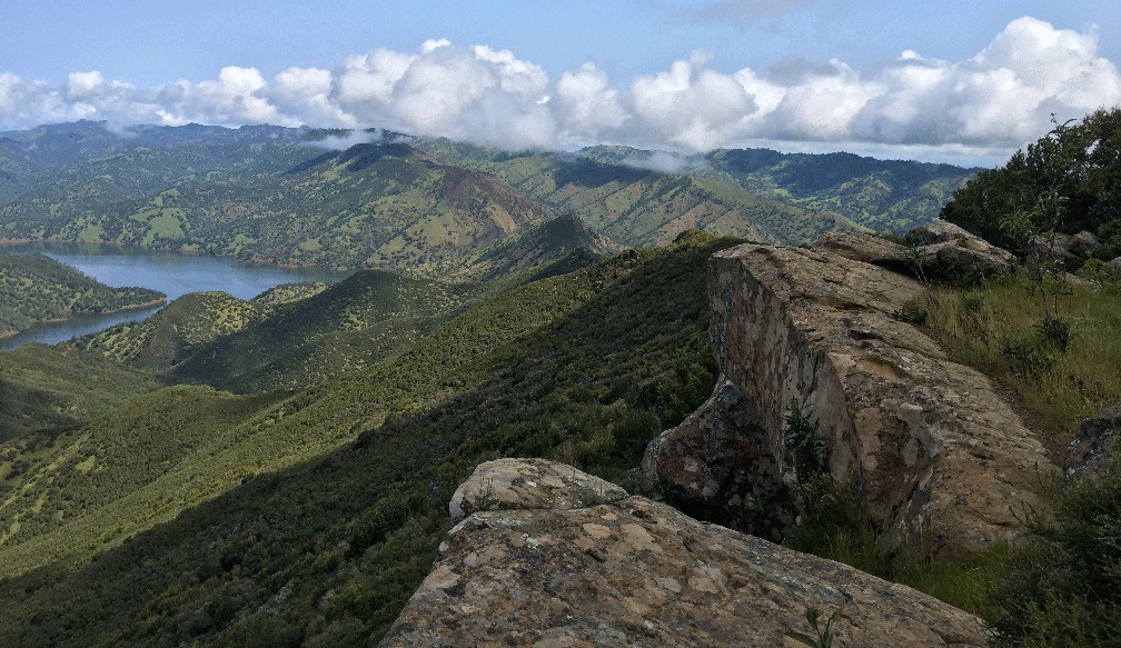
Stebbins Cold Canyon Loop Hike
Exploring the Stebbins Cold Canyon Loop, (also called the Homestead-Blue Ridge Loop or the Homestead Blue Ridge Trail), starts off easy as you hike through the canyon, but it becomes a workout as you ascend to the great views of Lake Berryessa. I have hiked this trail more times than I can count, and I will continue to hike it. I love it for its views and its challenge.
The way to the trail starts off from the parking lot is where you hike under Highway 128 by going through a drainage tunnel that runs under it. Continue reading “Stebbins Cold Canyon Loop Hike”