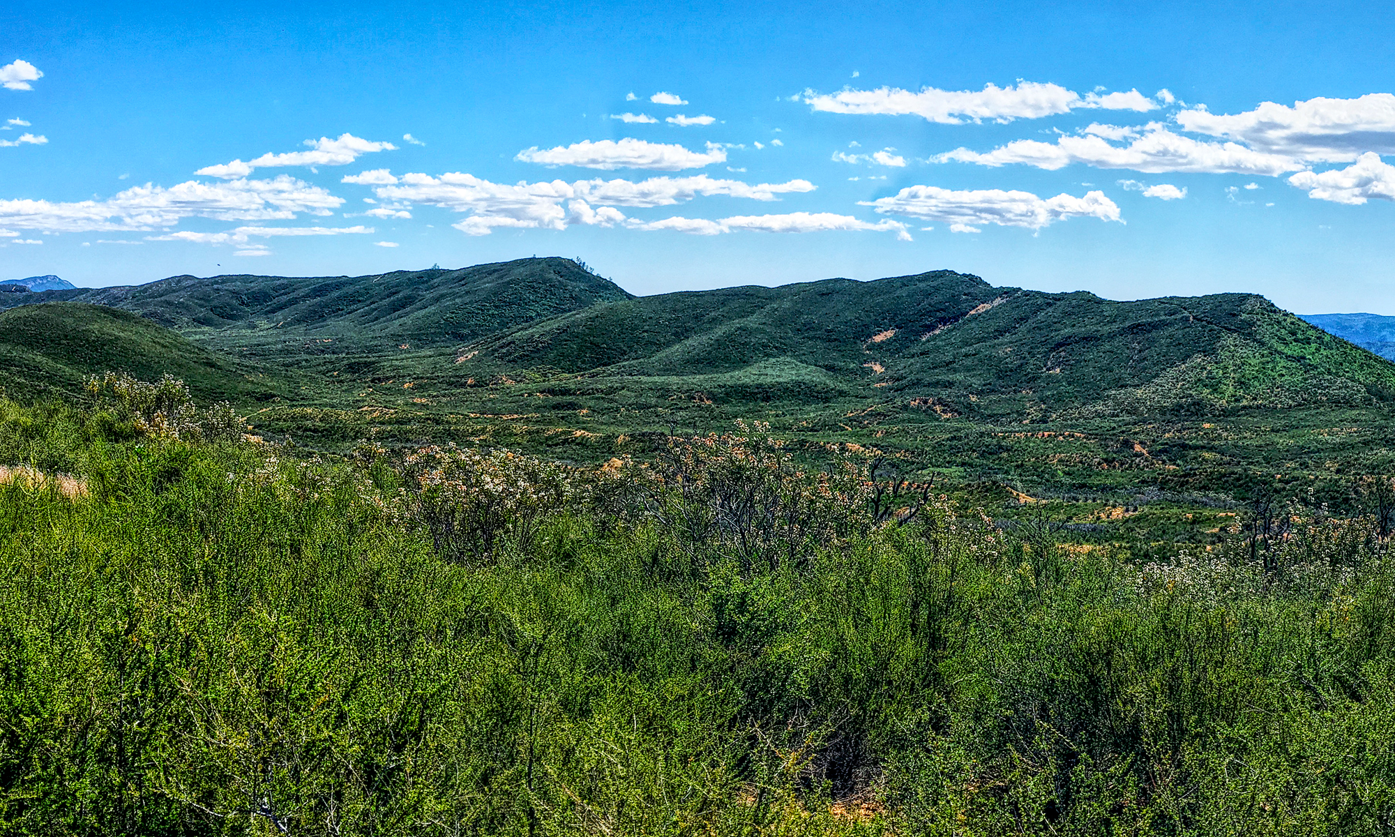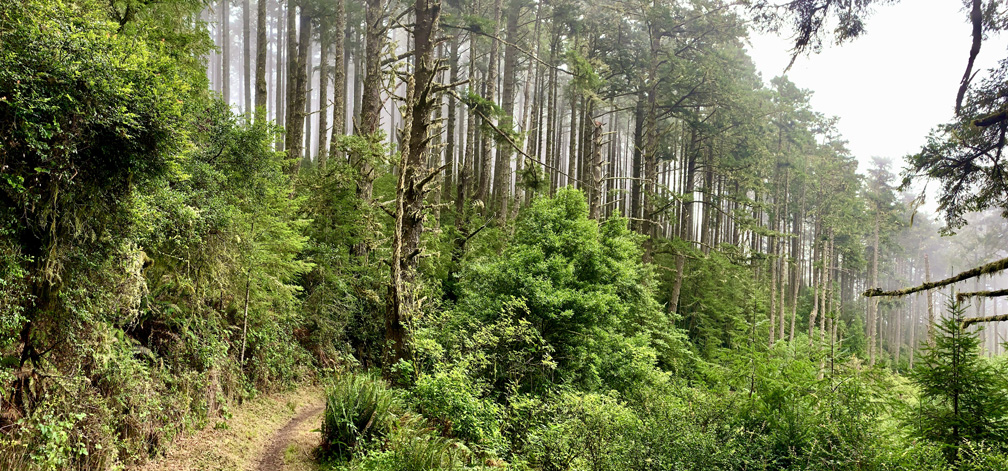
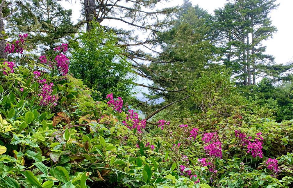
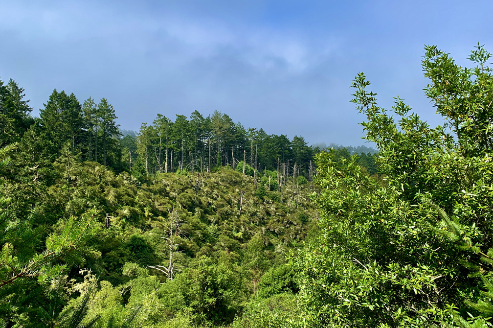
Sky Trail at Point Reyes National Seashore is an awesome hike, and at the right time of the year when the wildflowers are in bloom, it’s a feast for the eyes. For the most part, the hike is not too difficult and is actually relaxing as you hike under the pine forests next to ferns and greenery.
Leaving from the Sky Trail trailhead on Limantour Road at Point Reyes National Seashore, the hike starts off as an easy ascent under heavy pine canopy and lush vegetation all around. Not too far in on the hike, you may begin to feel humidity. About 1.3 miles in on the trail, you’ll come to Sky Camp. The area opens up, and there are vaulted toilets and drinking water.
Hiking on, you go back under canopy as you head into the forest and closer to the ocean. You’ll come across several trail junctions, including the Woodward Valley Trail, but keep going and stay on Sky Trail. As you head down to Coast Trail, the descent becomes steep in places, and it may make you contemplate if you want to come back on Sky Trail. I didn’t want to make that climb as it would be on a 10.6% grade over 1.2 miles.
Once you get down to Coast Trail, turn north. While you are on the Coast Trail, you will be hiking exposed, so sunscreen or other sun protection is recommended. Hike 2.5 miles to the Sculptured Beach junction, and head on down to the beach. The steps you come across are large and will require you to take care in places while stepping down.
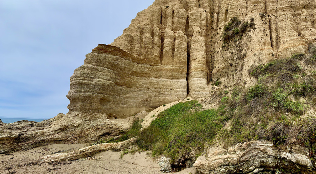
Sculpted Beach is nice. Take your time and enjoy it because it took quite a distance to get there. Take in the cliff walls, and you’ll see why the beach was given its name.
As you climb back up to the Coast Trail junction, head north for another half mile to Woodward Valley Trail.
Coming back on the Woodward Valley Trail may not be a good idea. The 2-mile hike is beautiful, but it has its challenges. The first .6 miles is exposed, which is fine on a day with a breeze. Be sure to turn around and look behind you on Limantour Beach as you hike up. Once you hit the canopy, you realize how narrow the trail is by the encroaching vegetation. Among that vegetation, which is difficult to physically avoid in many places, is poison oak. At the time of this writing, the Woodward Valley Trail, while beautiful, needs maintenance. When I do this hike again, I will find another way to make it back to the Sky Trail other than the Woodward Valley Trail.
Directions: From Sacramento, take Highway 80 to Highway 37 west in Vallejo. From Highway 37, take the Atherton Avenue exit toward Black Point. Turn left on Atherton Avenue and continue onto San Marin Drive. Turn right on Novato Boulevard. Turn left onto Pt. Reyes – Petaluma Road and follow it to Highway 1. Turn left on Highway 1, and shortly after turn right onto Sir Francis Drake Boulevard and follow it and turn left onto Bear Valley Road. Turn right onto Limantour Road and follow it for 3.4 miles to the trailhead on the left. The parking coordinates are here: 38.054994, -122.837925
Always check Point Reyes National Seashore website for road or trail closures before heading out.
The Skinny
Trail: Sky Trail to Sculptured Beach
Trailhead Coordinates: 38.054849, -122.837971
Trailhead Elevation: 676 Feet
Distance: 14 Miles – Lollipop
Level of Difficulty: 🟠
Average Grade: .5%
Steepest Grade: 9.5% over 1.2 miles
Ascension: 2642 Feet
Trail Condition: 🟢, 🔴 See Above
Scenery: 🟢🟢🟢
Nearest Town: Inverness
Challenges: Poison Oak
Traffic: 🥾 on Weekdays, 🥾🥾Weekends
Highlights: Views, Wildflowers, Forest
Best Time: Spring, Summer, Fall Winter
Hazards: Exposure
Wildlife Concerns: Mountain Lions
Cell Service: 📱 (AT&T)
Would I do this hike again? Yes
Restrooms: None at the Trailhead
Parking: Free
