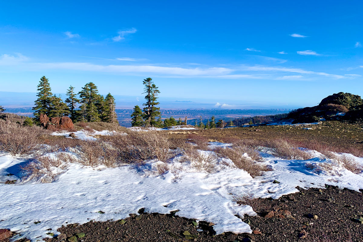
As when I wrote about my hike to the West Peak of Snow Mountain, the same two words apply: “peaceful desolation,” but the scenery has drastically changed since 2018 when I was there last.
A little less than a month after I hiked to the West Peak, the Ranch Fire broke out, and the area was closed for nearly two years for restoration. Then it was opened it up, but then the August Fire broke out in 2020, and the forest closed back down for a few months.
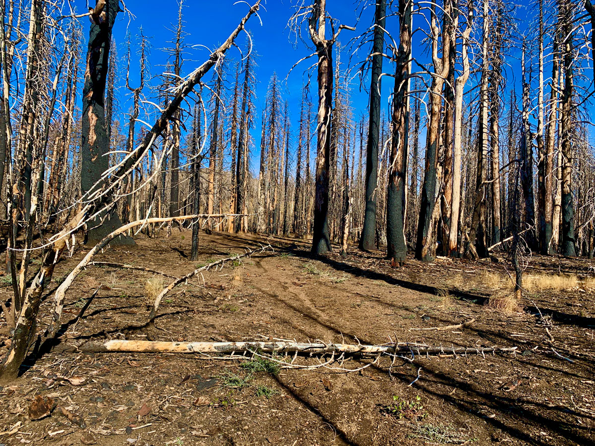
I went back in November 2020, and unlike in 2018, the majority of the trees were burned. There were some survivors here and there, but the canopy was mostly gone. Some of the manzanita is recovering, and I plan on going back this summer around the same time I went in 2018 to see if the wildflower growth has recovered.
The trail can be a little difficult to follow in places, but as long as you can find footprints and know the direction you’re supposed to head in, you should get to where you want to be, but please take a map or GPS with you.
Because of some of the restoration that was done, there were places where the trail was easier to hike over where obstructions were in the way in 2018.
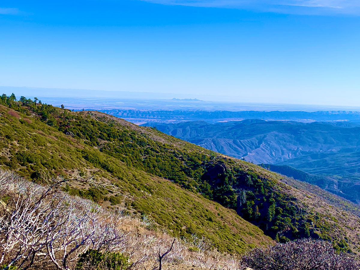
The views into the Sacramento Valley were good, which means you could kind of make out the Sierra Nevada Mountain Range to the east, and we could see the Sutter Buttes really well. At the top of the East Peak, there’s also a box with a signing book inside. If you find it, put your name and date you were there in it.
While hiking back and looking out over the Sacramento Valley on the final stretch, we could see city lights from probably Williams or maybe Maxwell in the distance in the fading light. It was neat to see. We also watched headlights from occasional vehicles flickering behind trees in the distance on ridges as they moved along mountain roads.
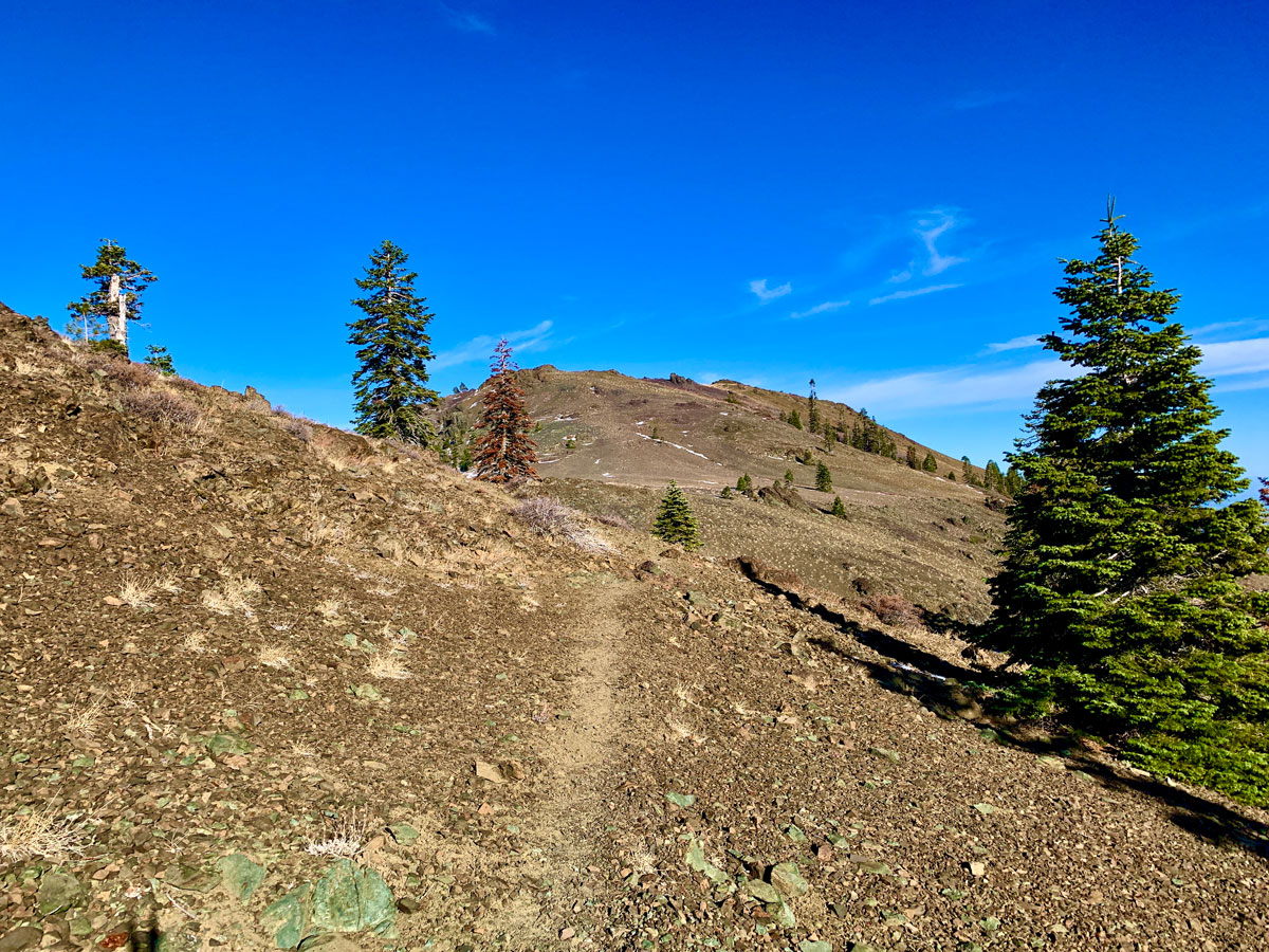
While you ascent more than 2,000 feet, the entire trail is a climb, but it’s not bad. It doesn’t start to feel steep until you get about 5.5 miles in where you find yourself at a junction where you can go to the West Peak, the East Peak or on the Milk Ranch Loop Trail.
Directions: From Stonyford (39.375075, -122.544572), take Market Street to Fouts Springs Road. Shortly after the Deafy Glade Trailhead, the pavement runs out and you will travel on a unpaved forest road, and take a right at the junction onto Forest Route 18N01. Follow it until you come to a junction where you will have four choices. Take 17N06 Road (second from the right) and proceed up hill. While not necessary, four wheel drive could come in handy and is recommended. Follow it to the Summit Springs Trailhead Parking area (39.345899, -122.752093).
The Skinny
Trail: Summit Springs to Snow Mountain East Peak
Trailhead Coordinates: 39.345871, -122.752081
Trailhead Elevation: 5,261 Feet
Distance: 8.7 Miles – Out and Back
Level of Difficulty: 🟡
Average Grade: 8.1%
Steepest Grade: 18.5% over .2 miles
Ascension: 2,371 Feet
Trail Condition: 🟢🟢🟢🟢
Scenery: 🟢🟢🟢🟢
Nearest Town: Stonyford
Challenges: Summer Heat
Traffic: 🥾
Highlights: Scenery
Best Time: Fall, Spring
Hazards: If you get hurt, there may be nobody around for days
Wildlife Concerns: Bears, Mountain Lions, Rattlesnakes
Cell Service: 📱 (AT&T)
Restrooms: Vault At The Trailhead
Parking: Free
One Reply to “Hiking Snow Mountain East Peak”
Comments are closed.