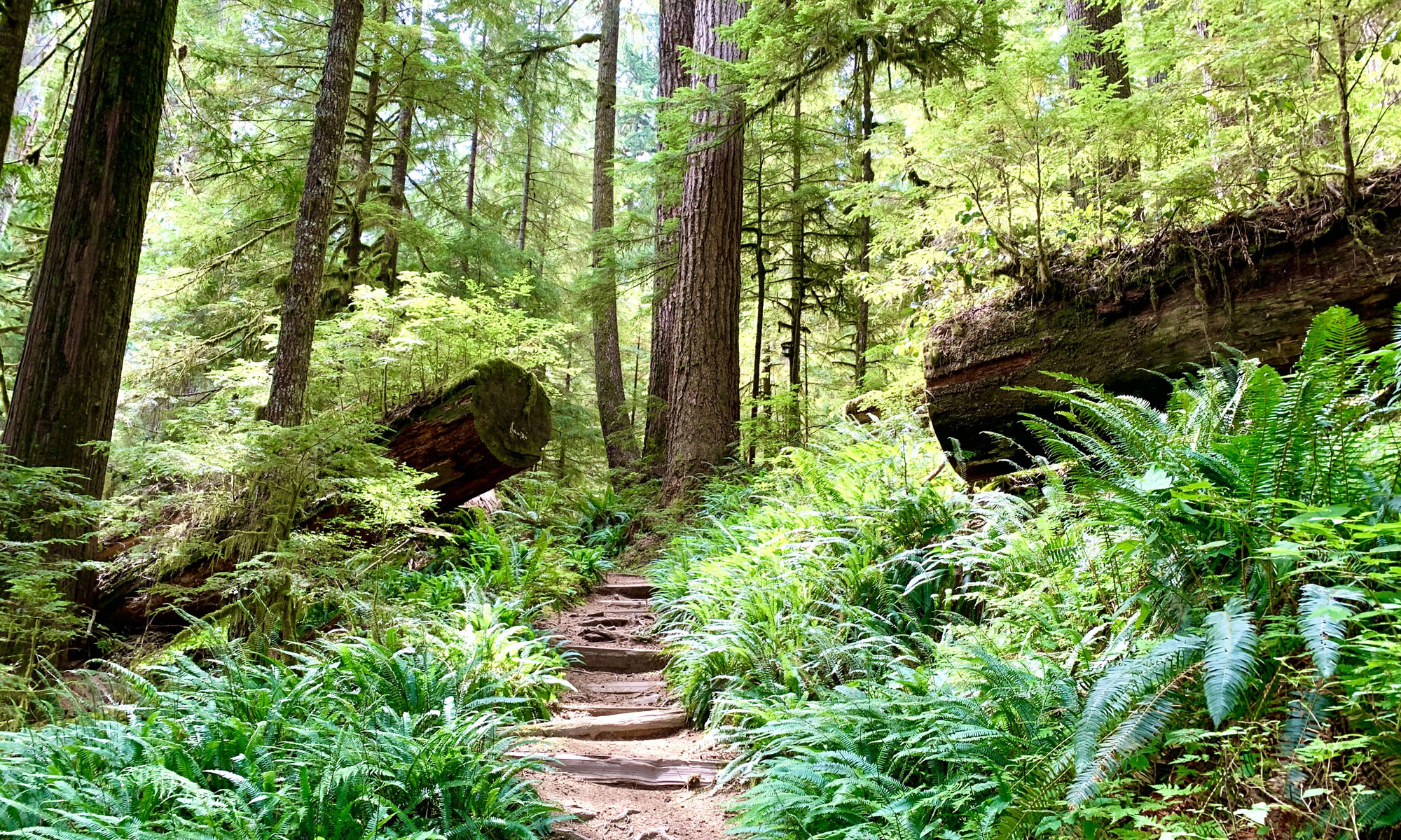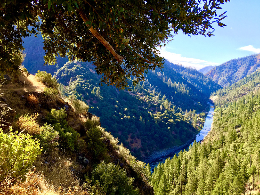
The Stevens Trail just outside of Colfax starts off pleasantly as you hike amongst lush greenery on both sides of the trail under the shade from oak tree canopy. The 1400 foot 3.7 mile descent to the American River is gentle, and the traffic sounds of the traffic on Interstate 80 fade into the distance as you venture away from the trailhead.
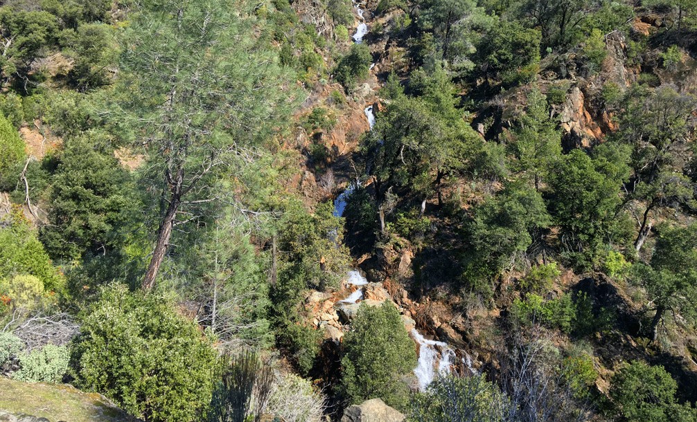
At about two miles down the trail, it splits. The sign indicates the trail is on the left for hikers only, and mountain bikers go right. If you go on the left trail, you will come to a point where a cascading waterfall crosses the trail. If it’s flowing, this is where the hike ends. But fret not as this can be a spectacular waterfall to take in. If the water is running you will need to use your best judgment if you decide to cross it. If you get swept away, you could sustain serious, if not mortal, injury. If it’s dry, you will have to scramble over the rocks to rejoin the main trail.
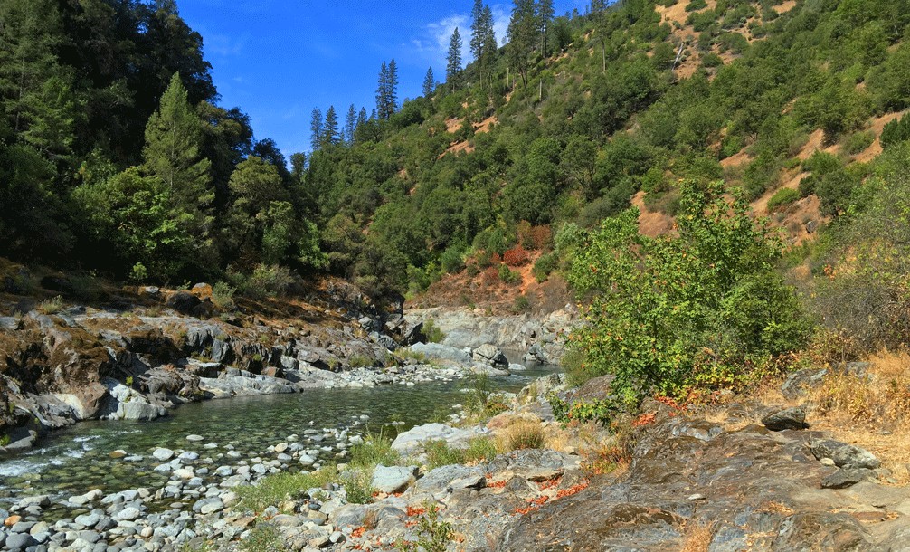
If it is safe to cross (dry), the rest of the hike to the river is a glide down with vistas of the river and the American River Canyon.
Keep in mind, that as you’re hiking down, you will have to come back up the same way. The trail is nicely graded and for the most part smooth. If the temperature is over 90 degrees, climbing out will not be all that pleasurable. Be sure to take plenty of water. The overall grade isn’t bad climbing back up, but it can be a tiring because of the distance. Take breaks if you have to and enjoy where you are.
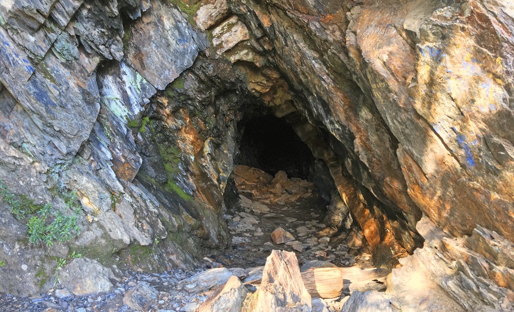
On the day I hiked this trail, I made it very close to the end before but I was stopped slightly before the endpoint. If you hike as much as I do, you will come see things out in the wilderness that might give you pause, and sometimes not in a good way. Most of those are things done by people. I happened to run into a young Adam and Eve hiking in the buff near the end of the trail that day, and I decided to go no further even though I was on public land.
You may think seeing people doing things that may seem inappropriate is uncommon out in the wilderness, but it is not. For some reason, people seem to think they’re all alone out there and away from other people. They’re not. There is always somebody around – even if you don’t see them and even in desolate of places. This is not the first time I’ve run into this scenario. On the weekends, this is a trafficked trail, and people visit it with their families, which was the case when I was there.
Directions: Form Sacramento, take I-80 East to the to the Colfax exit 135. Follow the exit briefly to a stop sign. Go through the intersection and turn left at North Canyon Way. Follow it for about a mile to the trailhead parking area. If the parking area is full, park on the shoulder of the road, but please do not block traffic.
The Skinny
Trail: Stevens Trail
Trailhead Coordinates: 39.105680, -120.947118
Trailhead Elevation: 2421 Feet
Distance: 7.54 Miles – Out and Back
Level of Difficulty: 🟡
Average Grade: 5.7%
Steepest Grade: 14.7% Over 480 Feet
Ascension: 1,400 feet
Trail Condition: 🟢🟢🟢
Scenery: 🟢🟢🟢
Nearest Town: Colfax
Challenges: Hot summers, rock scrambling
Traffic: 🥾 during the week, 🥾🥾 to 🥾🥾🥾 on holidays and weekends
Highlights: Views, American River
Best Time: Spring, Fall
Hazards: Some scrambling over rocks; tips of rocks sticking up in trail; temperatures higher than 90 degrees Fahrenheit; Poison Oak
Wildlife Concerns: Mountain Lions, Rattlesnakes
Would I Do This Hike Again?: I’ve hiked this trail at least four times, and I wouldn’t rule it out in the future.
Parking: Free
Restrooms: Vaulted toilet in the parking lot
