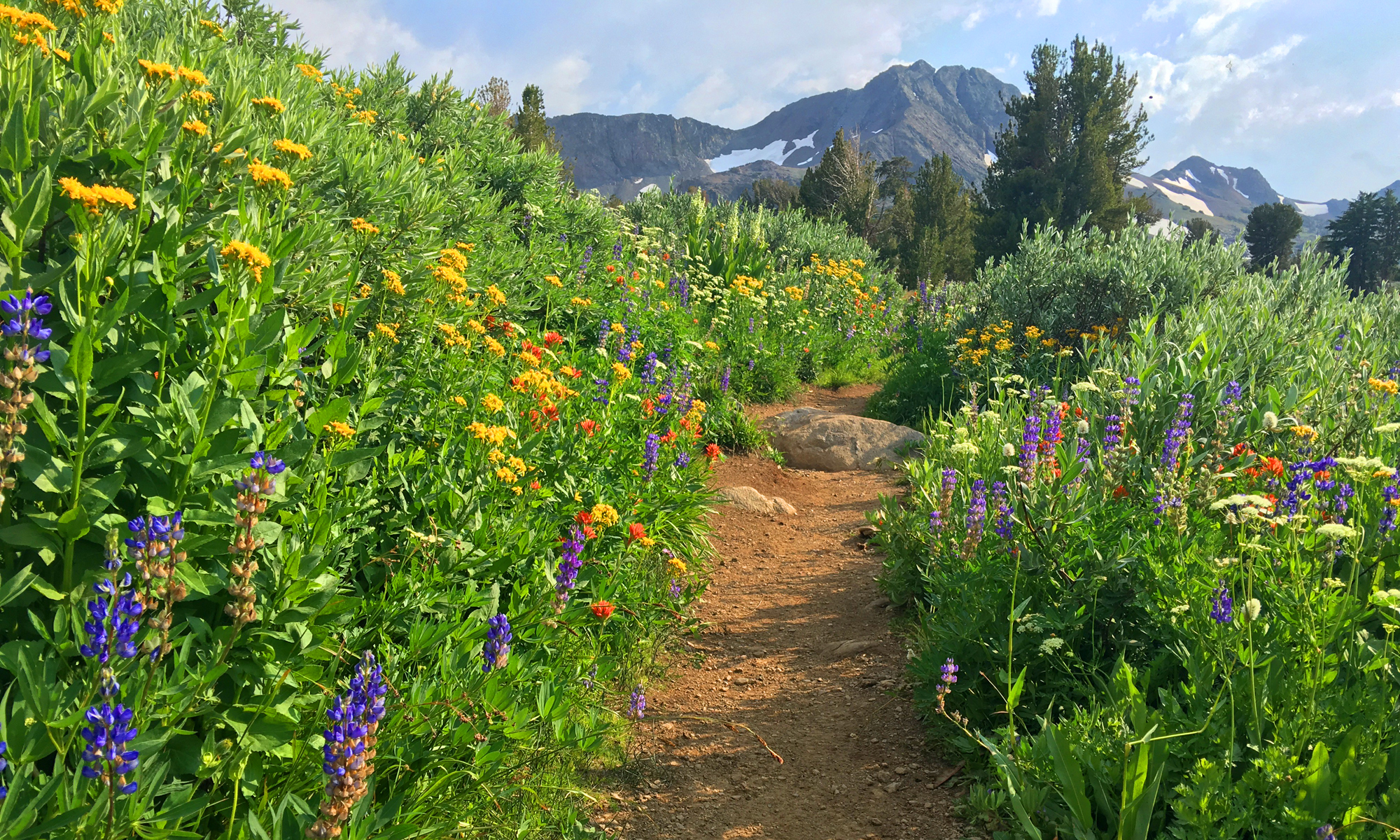
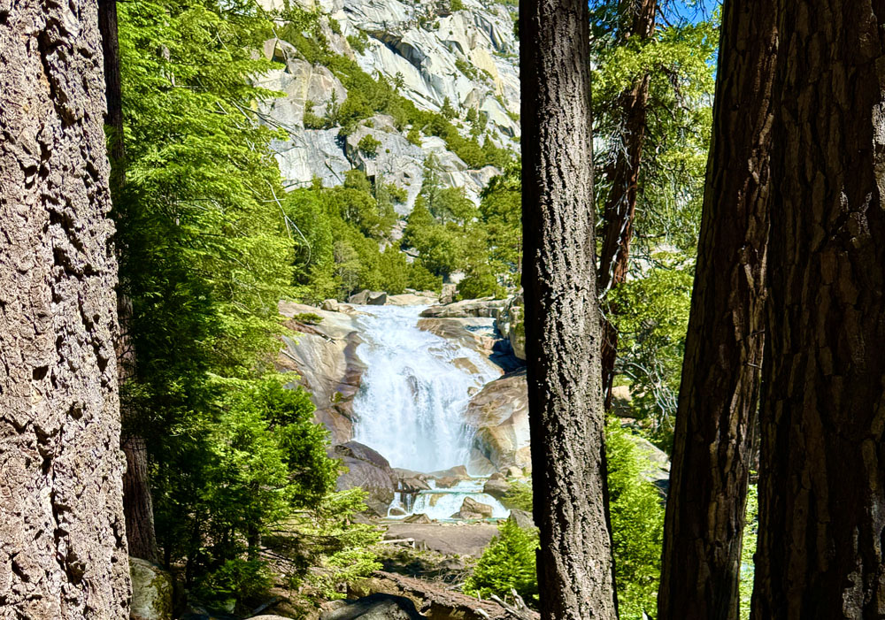
The hike to Mist Falls was the most spectacular hike we did when we were in Kings Canyon National Park. We loved it. We initially wanted to backpack the Rae Lakes Loop, but we could not get backcountry permits, so we day hiked it to the falls.
About the first .8 miles is pretty level and easy to hike through under pine covered canopy, but it was spotty and there was some exposure. After that, the canopy got thicker, and eventually we started to see ferns along the trail and at one point, we came across what appeared to be Rough Horsetail.
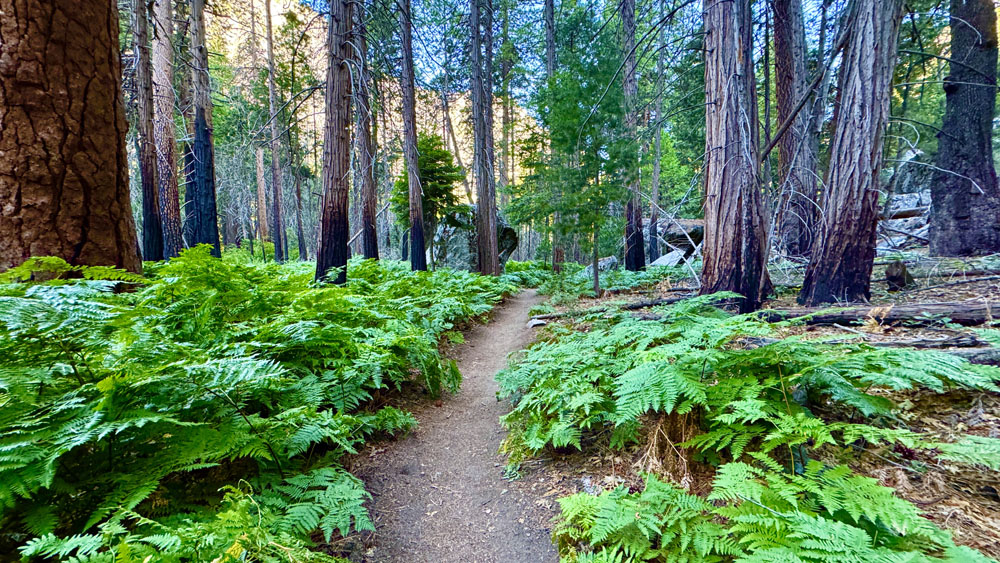
The hike was peaceful, but it was busy with foot traffic the day we hiked it, which was on a Monday in early July. We saw more hikers as we hiked out than when we started, which was around 7:30 a.m.
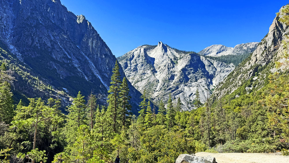
The hike was pleasant, but at points it got a little strenuous, but it didn’t last long. We got to the top of the falls and ate our lunch and took in the views looking south down the canyon of the South Fork of the Kings River with the mountains on each side sloping down to the river.
On our way back, we passed hikers who said they saw a bear “just down the trail.” We kept our eyes out, but we never saw it. As we came across more hikers going up to the falls, they said there was a bear “just down the trail.” We heard this over and over, and the tale grew as we hiked out and came across other hikers. It was a big bear. Then it was a mother bear. Then she had a cub. Later, from other hikers, she had multiple cubs. I wonder if any of those hikers actually saw the bear, or if they were repeating what they heard from others, and everybody, not knowing it, was playing the telephone game.
Directions: From Fresno, take Highway 180 east for 89.2 miles. Take a slight right and it will take you to the parking lot. Parking is here: 36.794498643182806, -118.58556349905636
The Skinny
Trail: Mist Falls Trail
Trailhead Coordinates: 36.794650, -118.582917
Trailhead Elevation: 5094 Feet
Distance: 8.4 Miles
Level Of Difficulty: 🟡
Average Grade: 3.2%
Steepest Grade: 27.4% Over 354 Feet
Ascension: 1214 Feet
Trail Condition: 🟢🟢🟢🟢
Scenery: 🟢🟢🟢
Nearest Town: Dunlap – About 30 Minutes Away From The Park, And It’s Pretty Sparce. Squaw Valley Is About 45 Minutes Away, But It’s Sparce Too. Fresno, Is The Closet A Little More Than An Hour Away, Or 53 Miles.
Traffic: 🥾🥾
Highlights: Mist Falls
Best Time: Spring, Summer, Fall
Hazards: Temperatures Over 90 Degrees
Wildlife Concerns: Bears, Mountain Lions, Rattlesnakes
Cell Service: 📵 Verizon
Would I Do This Hike Again?: Yes
Parking: $35 Good For 7 Days At The Time Of This Writing
Restrooms: At The Trailhead In The Parking Lot