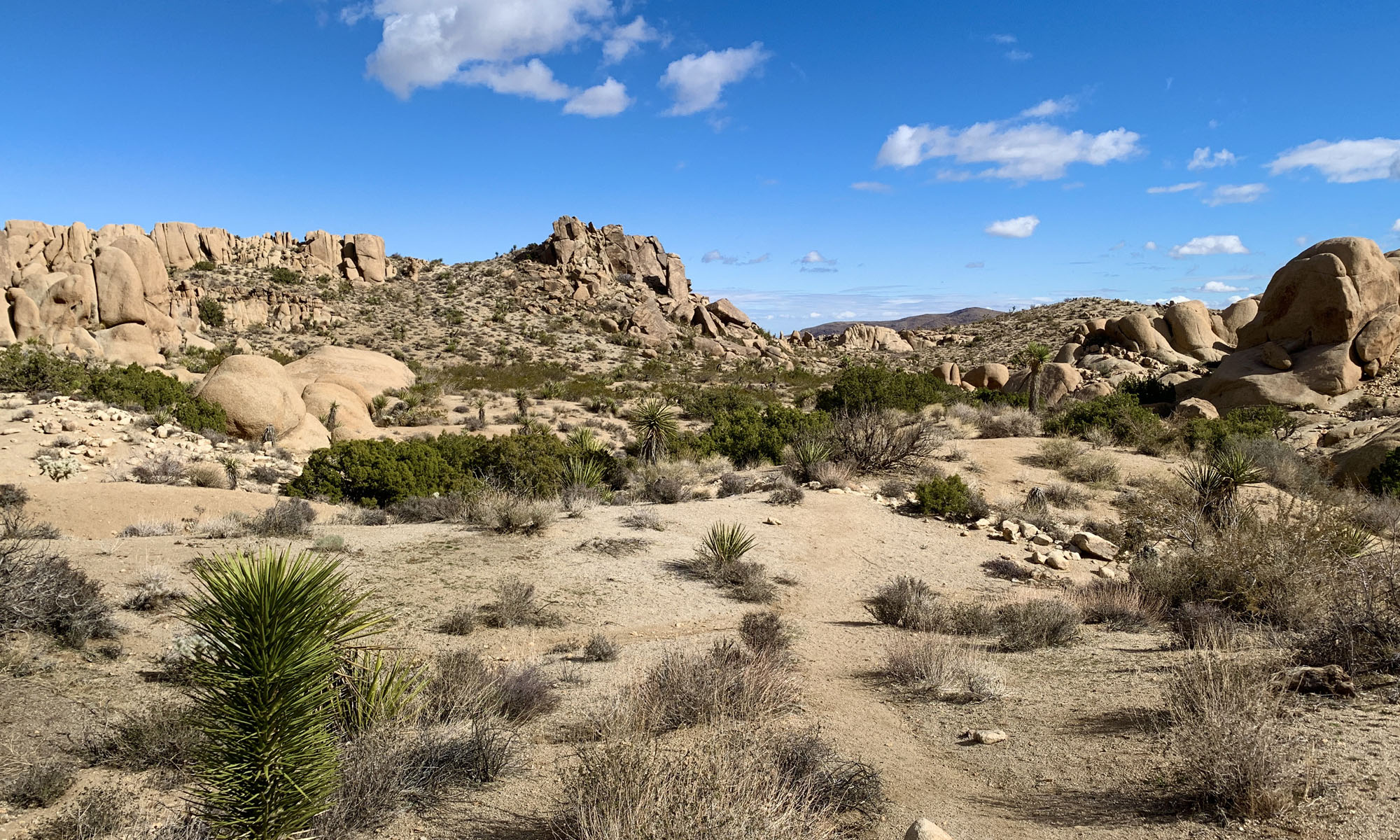
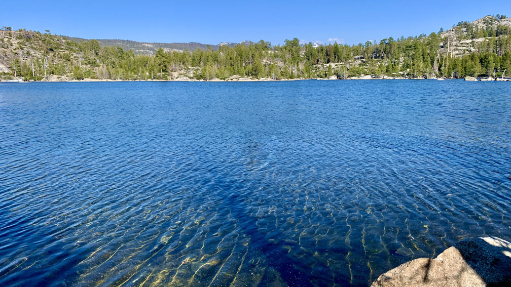
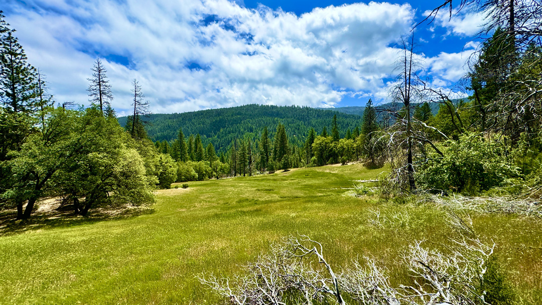
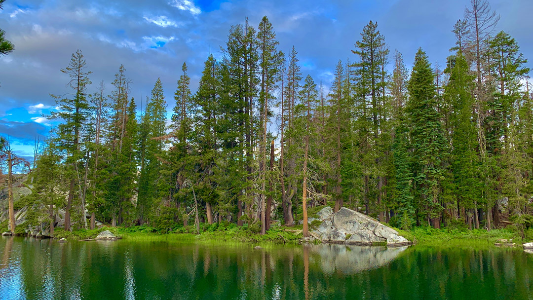
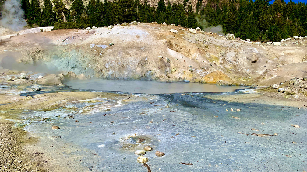
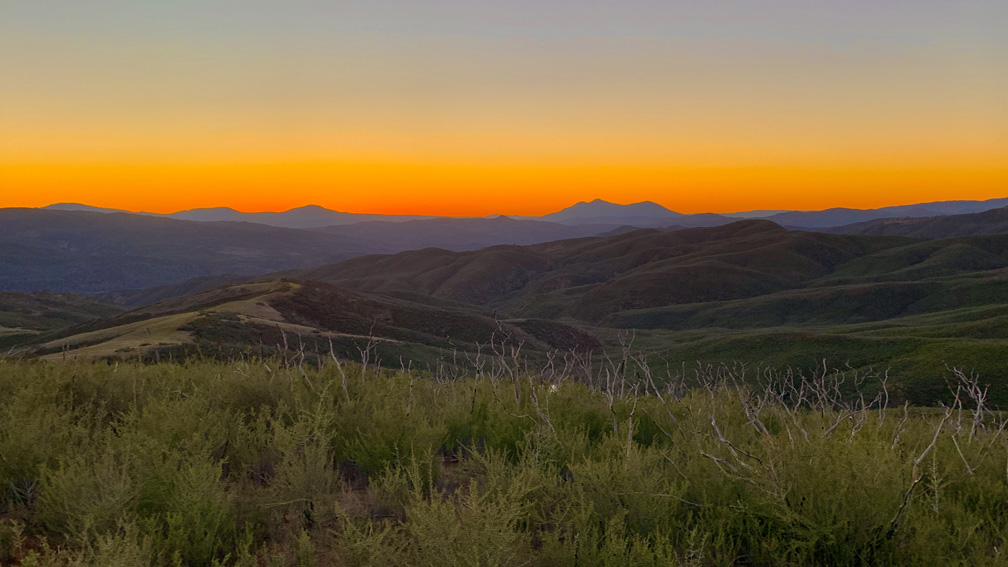
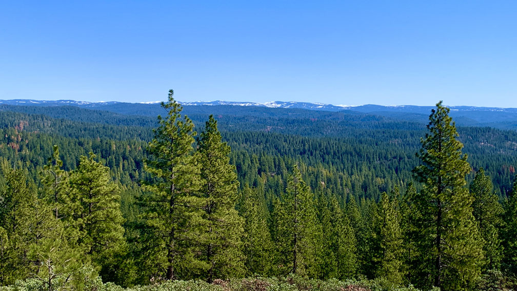
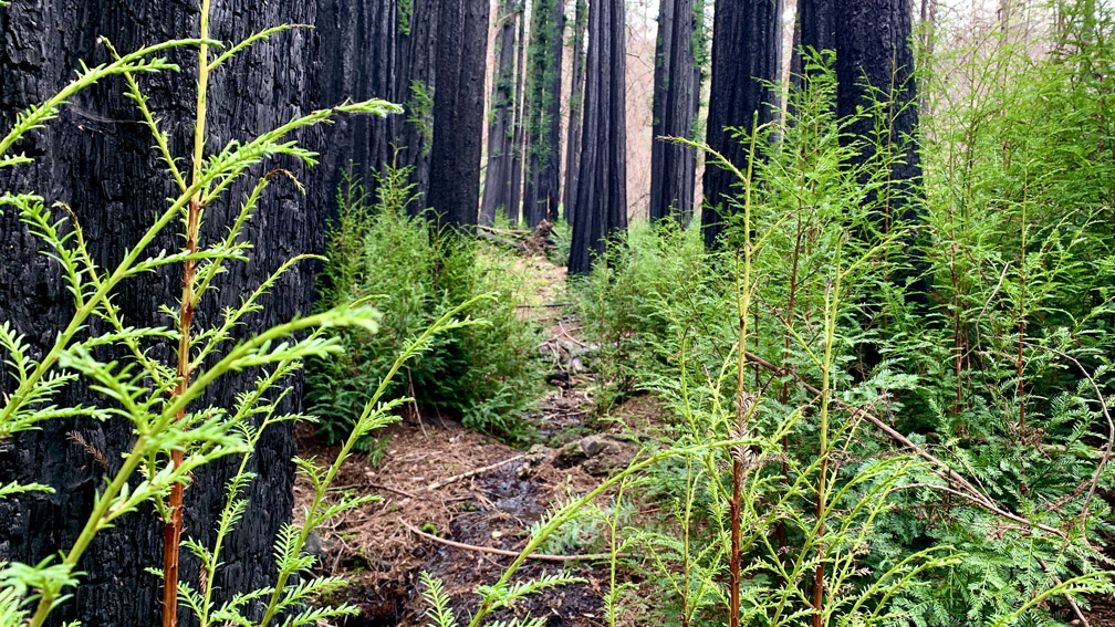
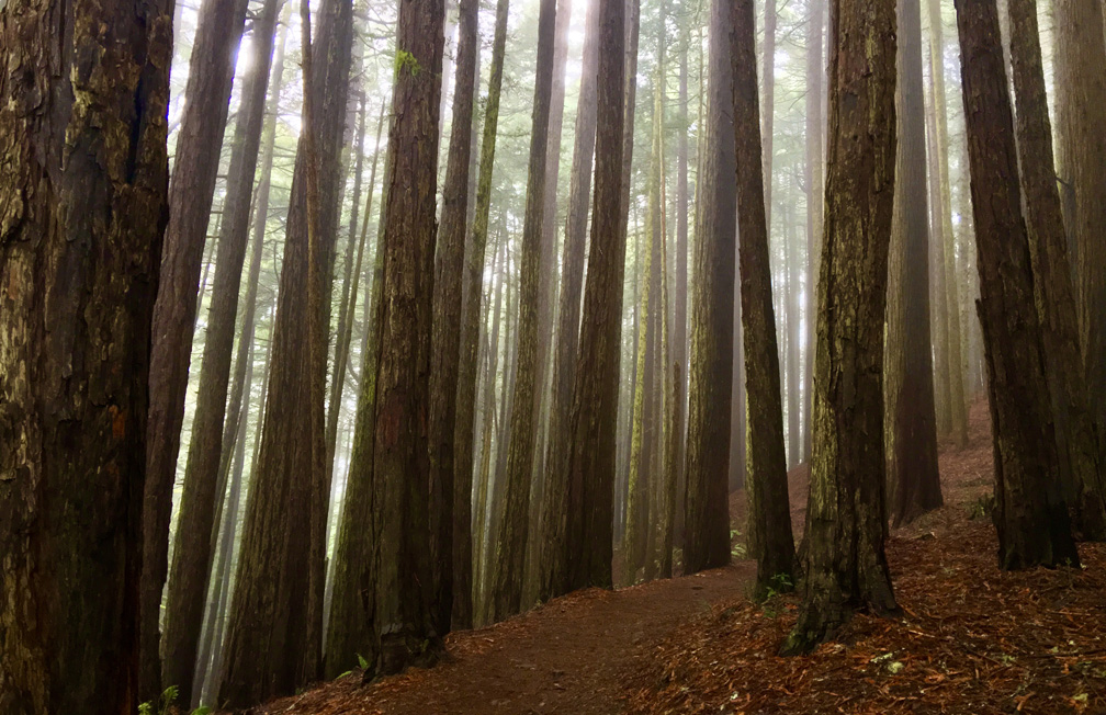
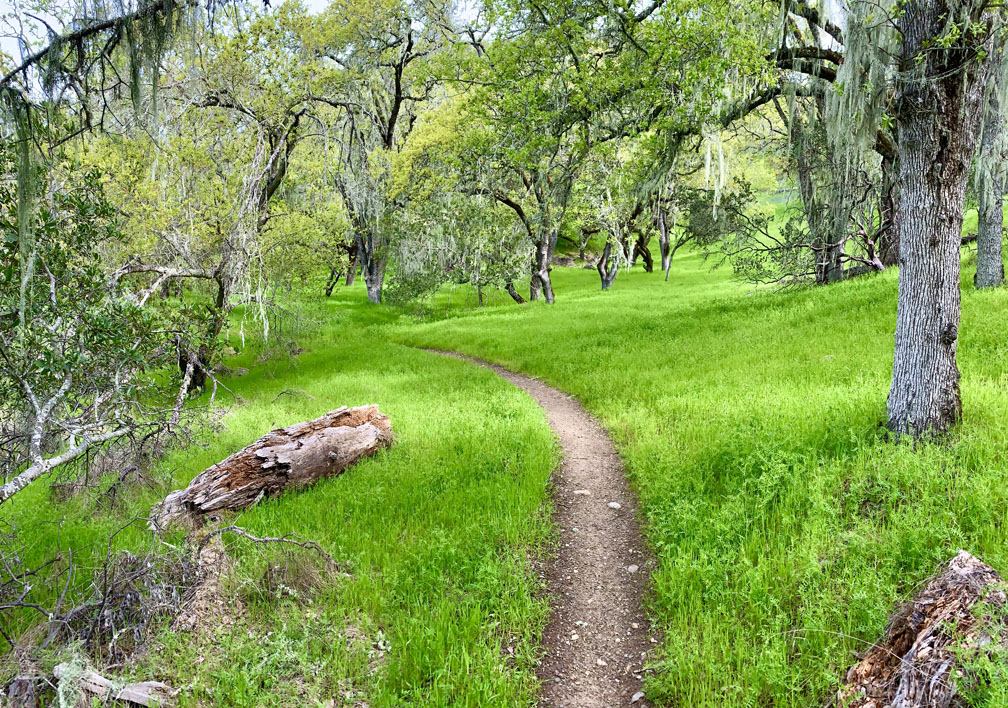
Billy’s Hill and Glascock Mountain

The north end of Capay Valley from Glascock Mountain where some of the farms can be seen.

The hike up Billy’s Hill and then over to Glascock Mountain can be a butt kicker, but it is worth it. This land is overseen by the Bureau of Land Management, so you can hike on it. Once you climb over the green gate, you will see there is no trail up Billy’s Hill, so the best way, albeit steep, is to hike a game trail. You may have to stop and rest on the up, which took me a little more than an hour to climb the 19 percent one-mile grade. The 980 foot ascent takes you from a starting elevation of 798 feet to 1778 feet. Continue reading “Billy’s Hill and Glascock Mountain”

Hiking Tomales Point Trail at Point Reyes National Seashore

Tomales Point looks north into Bodega Bay.

Ihave hiked the Tomales Point Trail at Point Reyes National Seashore several times, and depending on the time of year you go, you may or may not actually see the ocean as you move along the cliffed peninsula with the Pacific Ocean below you on the west side, Tomales Bay on the east side and Bodega Bay to the north. Continue reading “Hiking Tomales Point Trail at Point Reyes National Seashore”

Carson Pass to Fourth of July Peak

A summer wildflower explosion of color lines the trail from Carson Pass to Winnemucca Lake with Round Top Mountain the background.

Ihave written about hiking to Round Top Lake and Winnemucca Lake in a previous post, but I want to revisit the hike from a different way. If you like summer wildflowers, this is absolutely the hike for you.

Instead of starting out at Woods Lake, on this hike you start from Carson Pass, just a few more miles up on Highway 88.

The wildflower display on the trail to Winnemucca Lake, I’m told, is “world renowned.” I don’t know if that’s true, but I can attest to the beauty along the trail to the lake like I’ve never encountered on in the wild before. There is lupine, Indian Paintbrush, and a host of flowers I don’t know the names of, but are blue, purple, yellow and white. It’s an explosion of color, and in all the times I’ve hiked this trail, I’ve seen not only hikers, but photographers out on the trail too. About 1.5 miles in, you get into the wildflower burst. There is some uphill, but it’s not bad to this point, so it’s more than worth going just for this. If you were to just go to Winnemucca Lake and turn back, the wildflowers alone would make it a five-star day and the lake a bonus. Continue reading “Carson Pass to Fourth of July Peak”

Carson Emigrant National Recreation Trail

The Carson Emigrant National Recreation Trail offers scenic views of Caples Lake and the surrounding mountains.

The Carson Emigrant National Recreation Trail is not too often hiked but is a walk with history. As you hike it, it’s difficult to imagine how thousands of people in covered wagons made it along this terrain, and this trail isn’t anywhere near other difficult terrain they encountered on their way up Covered Wagon Peak. You won’t go that far if you turn around where I did, but you can. Continue reading “Carson Emigrant National Recreation Trail”

Round Top Lake to Winnemucca Lake

Round Top Lake sits below the Sisters, which tower over the lake at 9,000 feet in elevation.

Normally, I wouldn’t rate a hiking trail like Round Top Lake to Winnemucca Lake with a 🟠. It’s not a difficult hike, but the altitude might slow you down as you approach the 9000-foot mark. Even if it makes you huff and puff, it’s well worth it.

This hike has fantastic views as you approach Round Top Lake and look behind you to the north down on Caples Lake and the mountains beyond. Leaving the small parking lot, you’ll cross over Woods Creek on a bridge and then shortly after you’ll leave the pavement to your right and start hiking the trail. Continue reading “Round Top Lake to Winnemucca Lake”

Hike Lovers Leap Trail

The view from the top of Lovers Leap is sweeping.

Though short, hiking up Lovers Leap trail is one tough climb. You start to feel the pull almost immediately once stepping onto the trail, and it doesn’t stop until you make it almost to the top as you hike under thick pine most of the way. Following the trail takes you to the top of the end point, which is the highlight of the trail. Continue reading “Hike Lovers Leap Trail”

Hiking Big Meadow Trail to Round Lake

Big Meadow is vast and the trail cuts through it on the way to Round Lake.

If you like hiking through meadows like I do, then this hike through Big Meadow is absolutely for you.

The hike starts off at the Big Meadow trailhead parking lot just off Highway 89 on Luther Pass, which is part of the larger Tahoe Rim Trail. You hike a pleasant .1 a mile before you come upon Highway 89 and have to cross it. Listen for traffic, as you should be able to hear it before you can see it coming around the corners. Continue reading “Hiking Big Meadow Trail to Round Lake”

Hiking Valley Vista Trail

The view from Valley Vista Trail overlooks a northern portion of Capay Valley with Cache Creek running below it.

The hike up to Valley Vista Trail can be heart pounding in areas and seemingly level in others while you ascend the entire time. On a clear day while hiking, you can see the Sutter Buttes, portions of the north end of Capay Valley, the Sacramento Valley and the Sierras way out to the east. Continue reading “Hiking Valley Vista Trail”

Hiking Annie’s Trail

The view from Annie's Rock is incredible in the spring when everything is green. On a clear day, Mt. Konocti and Snow Mountain can be seen.
The view from Annie’s Rock is incredible in the spring when everything is green. On a clear day, Mt. Konocti and Snow Mountain can be seen.

Hiking to the Annie’s Trail trailhead can be a feat within itself, as you have to hike the Homestead Trail and climb many steps up a 19 percent grade over 400 feet to get to it. By the time you reach the trailhead, you’ve already hiked about two miles overall. Once you’ve made it this far, you’ll find yourself at a junction. To take Annie’s Trail, hike straight ahead and follow the trail south along an ascending path. You’ll do some ducking under limbs, but it’s not bad. Continue reading “Hiking Annie’s Trail”

Stebbins Cold Canyon Loop Hike

The Blue Ridge Trail offers sweeping views of the foothills and surrounding area from about 1600 feet.

Exploring the Stebbins Cold Canyon Loop, (also called the Homestead-Blue Ridge Loop or the Homestead Blue Ridge Trail), starts off easy as you hike through the canyon, but it becomes a workout as you ascend to the great views of Lake Berryessa. I have hiked this trail more times than I can count, and I will continue to hike it. I love it for its views and its challenge.

The way to the trail starts off from the parking lot is where you hike under Highway 128 by going through a drainage tunnel that runs under it. Continue reading “Stebbins Cold Canyon Loop Hike”

Stevens Trail Along the American River

The American River Canyon from the Stevens Trail.

The Stevens Trail just outside of Colfax starts off pleasantly as you hike amongst lush greenery on both sides of the trail under the shade from oak tree canopy. The 1400 foot 3.7 mile descent to the American River is gentle, and the traffic sounds of the traffic on Interstate 80 fade into the distance as you venture away from the trailhead. Continue reading “Stevens Trail Along the American River”

Hiking Around Loon Lake

Loon Lake from the trail.

There’s nothing difficult about hiking this scenic trail along Loon Lake on the Rubicon Trail, which offers picturesque images of the lake if you venture off the forested trail a little bit for the views. Along the way you will hike past granite rocks and hills as the trail is a gateway to Desolation Wilderness. This hike is purely about the scenery and not much of a challenge, as the trail is nicely maintained. Continue reading “Hiking Around Loon Lake”

Hiking Pleasants Ridge Trail

A view of the Sacramento Valley from Pleasants Ridge Trail.
From Pleasants Ridge Trail, you can look down into the Sacramento Valley.

This trail is now closed

Hiking up Pleasants Ridge Trail starts off easy enough, but the hike quickly becomes a heart-pounding, heavy-breathing workout. At the time of this writing, Alltrails.com rates this trail as moderate (recently re-rated as hard)It is not, and this short trail is no way for the inexperienced hiker by any means. With grades at nearly 46 percent in some sections, this trail can actually be dangerous on the descent. I’ve never used my “hiker safety” category on a trail summary before, but this one is an exception. Continue reading “Hiking Pleasants Ridge Trail”

Hiking The Mount Konocti Trail

Buckingham Peak with Clear Lake in the background from Wright Peak on Mount Konocti.

Hiking up Mount Konocti to Wright Peak is about a six-mile round-trip hike from the Upper Parking Lot near the access gate on Konocti Road. You will climb approximately 1,600 feet, and along the way, you hike past past walnut and apple orchards, through an amazing Canyon Oak grove to the Mary Downen cabin, which was built in 1903 and preserved. The trail continues up to Wright Peak to the no longer used CalFire lookout tower. You can also hike to Buckingham Peak and Howard Peak, which would make the entire mountain nearly a 9-mile hike. Continue reading “Hiking The Mount Konocti Trail”